Transport Functions
Port
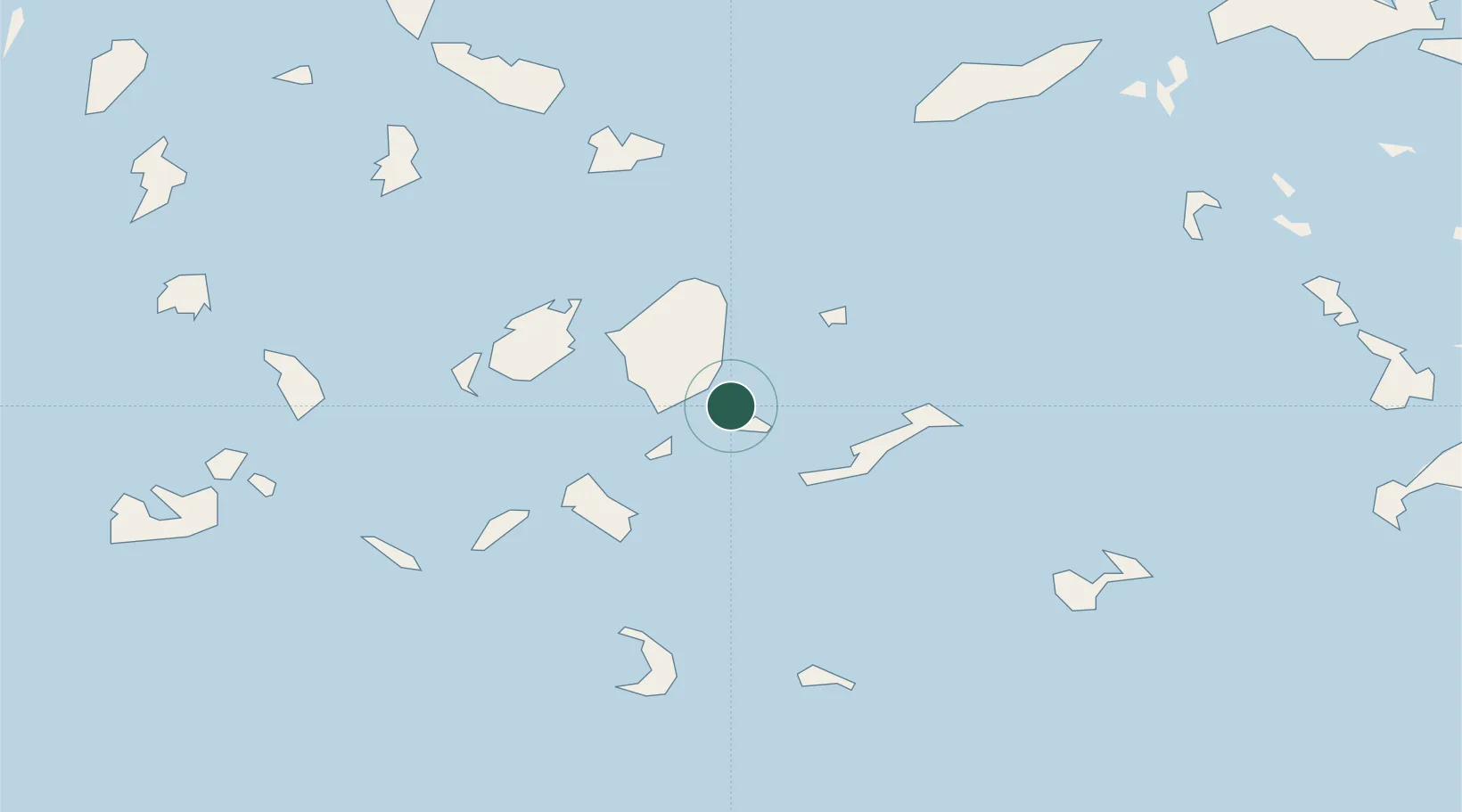
Location
Nearby Logistics Neighbours
Cities
- 1Schinousa Kykladon12 km
- 2Herakleia Kykladon14 km
- 3Moutsoúna17 km
- 4Donousa Kykladon26 km
- 5Katápola26 km
Ports
- 1Nisos Naxos28 km
- 2Mikonos62 km
- 3Limin Sirou80 km
- 4Milos105 km
- 5Lakki113 km
Airports
Trade Zones
- 1Free Zone of Heraklion198 km
- 2Aegean Free Zone206 km
- 3Free Zone of Piraeus209 km
- 4Izmir Ataturk Organized Industrial Zone214 km
- 5Izmir Free Zone221 km
DatabookThe Record of Consolidated Knowledge
Greece beyond logistics?