Transport Functions
Port
Airport
Hub Profile
Place type
District seat
Region
South Aegean
Population
7,070
Time zone
Europe/Athens
Elevation
32 m
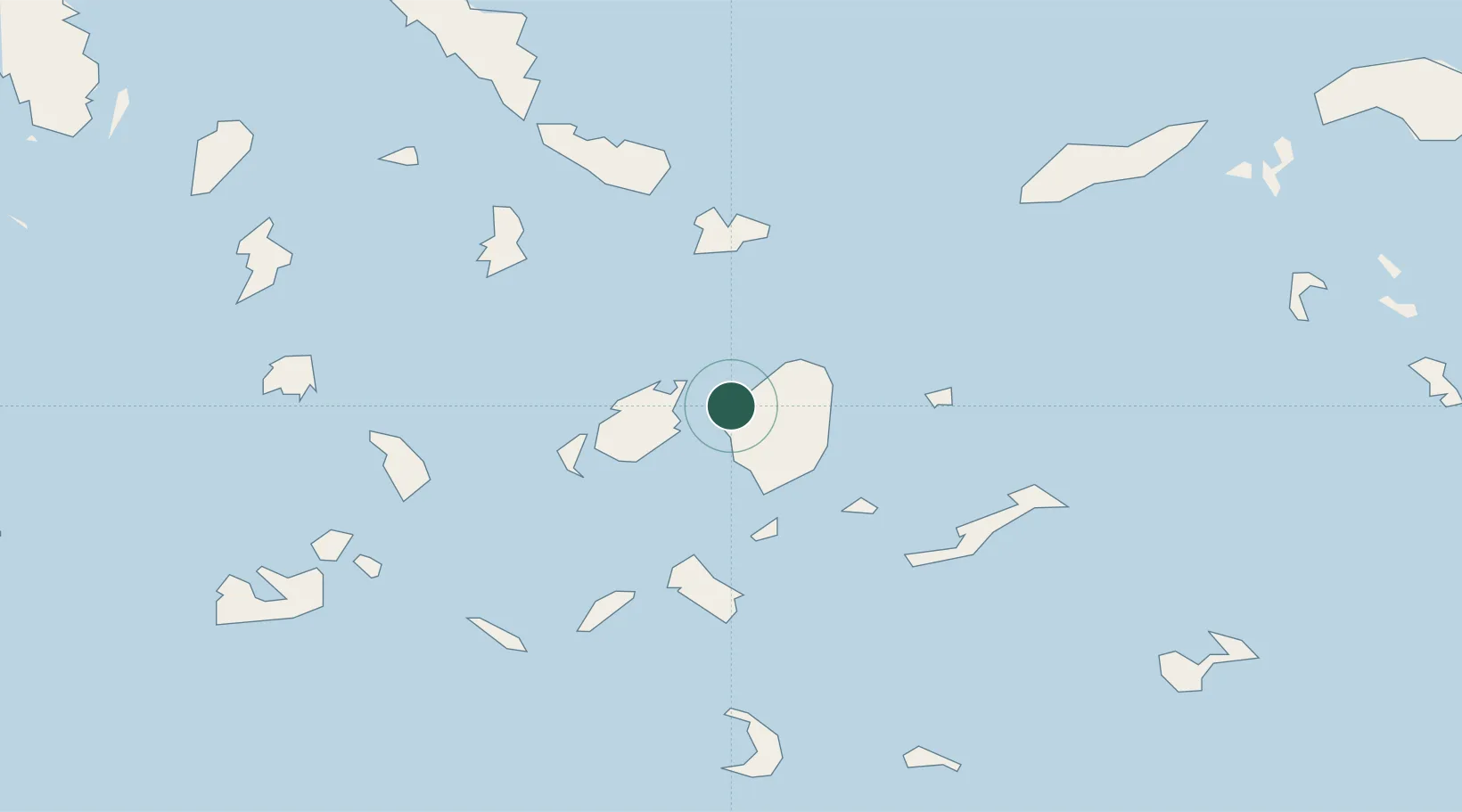
Location
Nearby Logistics Neighbours
Cities
- 1Naoussa Parou13 km
- 2Moutsoúna18 km
- 3Páros21 km
- 4Koufonissia Kykladon27 km
- 5Herakleia Kykladon27 km
Ports
- 1Mikonos39 km
- 2Limin Sirou53 km
- 3Andros90 km
- 4Milos93 km
- 5Gavrio104 km
Airports
Trade Zones
- 1Free Zone of Piraeus182 km
- 2Aegean Free Zone206 km
- 3Izmir Ataturk Organized Industrial Zone212 km
- 4Free Zone of Heraklion213 km
- 5Izmir Free Zone217 km
DatabookThe Record of Consolidated Knowledge
Greece beyond logistics?