Transport Functions
Port
Hub Profile
Place type
Populated place
Region
South Aegean
Population
84
Time zone
Europe/Athens
Elevation
19 m
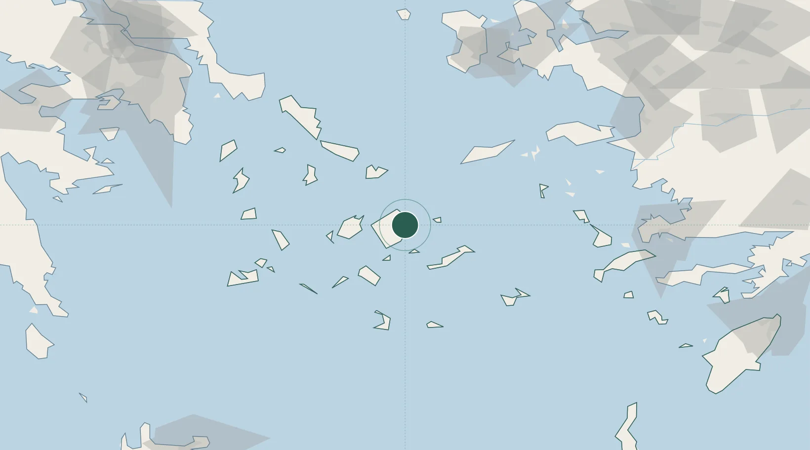
Location
Nearby Logistics Neighbours
Cities
- 1Koufonissia Kykladon17 km
- 2Náxos18 km
- 3Donousa Kykladon19 km
- 4Schinousa Kykladon25 km
- 5Herakleia Kykladon26 km
Ports
- 1Nisos Naxos19 km
- 2Mikonos46 km
- 3Limin Sirou68 km
- 4Andros100 km
- 5Milos109 km
Airports
Trade Zones
- 1Aegean Free Zone195 km
- 2Free Zone of Piraeus199 km
- 3Izmir Ataturk Organized Industrial Zone202 km
- 4Izmir Free Zone208 km
- 5Free Zone of Heraklion214 km
DatabookThe Record of Consolidated Knowledge
Greece beyond logistics?