UN/LOCODE hub · Greece
GRPME

Pachi

37.9667°, 23.3500°
542
Population
1
Transport functions

Transport Functions

Port
UN/LOCODE

Hub Profile

Place type
Populated place
GeoNames
Region
Attica
GeoNames
Population
542
GeoNames
Time zone
Europe/Athens
GeoNames
Elevation
25 m
GeoNames

Location

Location of GRPME
Natural Earth 10m (public domain) · Attica · GRPME · 37.97, 23.35GoogleOSMYandex

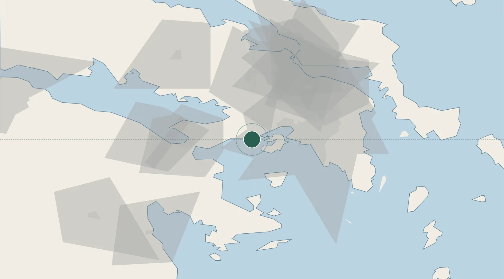
Nearby Logistics Neighbours

Cities
  1. 1Revithoussa4 km
  2. 2Faneromeni Salaminas6 km
  3. 3Salamís12 km
  4. 4Paloúkia16 km
  5. 5Mandra Attikis17 km
Nearest neighbours — logibook spatial index (haversine) over the source coordinates
Ports
  1. 1Megara Oil Terminal4 km
  2. 2Piraievs27 km
  3. 3Navplio66 km
  4. 4Lavrio70 km
  5. 5Ormos Aliveriou77 km
Nearest neighbours — logibook spatial index (haversine) over the source coordinates
Airports
  1. 1Elefsis Air Base21 km
  2. 2Tanagra Air Base46 km
  3. 3Athens Eleftherios Venizelos International Airport52 km
  4. 4Skiathos Island National Airport135 km
  5. 5Nea Anchialos National Airport148 km
Nearest neighbours — logibook spatial index (haversine) over the source coordinates
Trade Zones
  1. 1Free Zone of Piraeus23 km
  2. 2Free Zone of Platigiali (Astakos Etoloakarnanias)205 km
  3. 3Free Zone of Thessaloniki299 km
  4. 4Izmir Free Zone321 km
  5. 5Izmir Ataturk Organized Industrial Zone327 km
Nearest neighbours — logibook spatial index (haversine) over the source coordinates
DatabookThe Record of Consolidated Knowledge
Greece beyond logistics?
Browse databook

All Sources

LocationsUN/LOCODE
UN/LOCODE — free
LocationsGeoNames
CC BY 4.0
Portsthe NGA World Port Index
Public domain (US gov)
AirportsOurAirports
Public domain
Trade Zonesthe World Bank SEZ database
CC BY 4.0
Trade ZonesOpen Zone Map
CC BY
← Greece locations