Transport Functions
Port
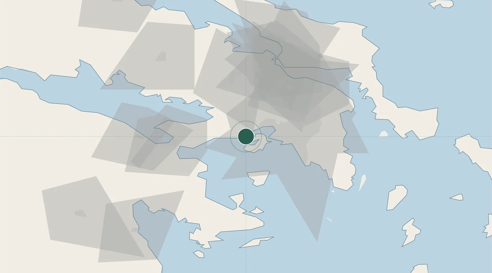
Location
Nearby Logistics Neighbours
Cities
- 1Revithoussa5 km
- 2Salamís6 km
- 3Pachi6 km
- 4Paloúkia10 km
- 5Eleusina12 km
Ports
- 1Megara Oil Terminal2 km
- 2Piraievs21 km
- 3Lavrio65 km
- 4Ormos Aliveriou71 km
- 5Navplio71 km
Airports
- 1Elefsis Air Base15 km
- 2Tanagra Air Base42 km
- 3Athens Eleftherios Venizelos International Airport47 km
- 4Skiathos Island National Airport133 km
- 5Skiros Airport144 km
Trade Zones
DatabookThe Record of Consolidated Knowledge
Greece beyond logistics?