Transport Functions
Port
Hub Profile
Place type
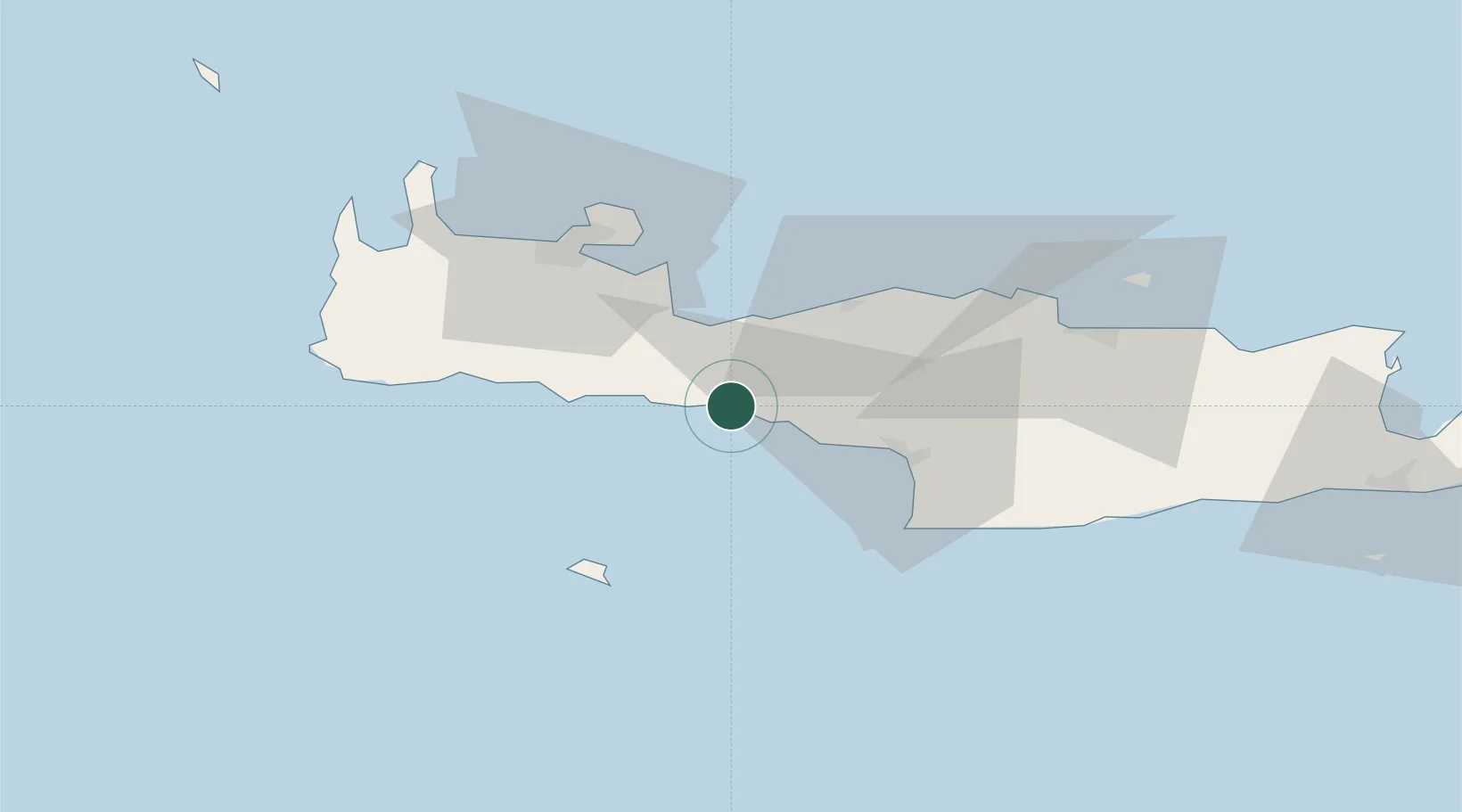
Populated place
Region
Crete
Population
143
Time zone
Europe/Athens
Elevation
4 m
Location
Nearby Logistics Neighbours
Cities
- 1Réthymnon22 km
- 2Khóra Sfakíon23 km
- 3Paleohora Sfakion23 km
- 4Loutro Chanion27 km
- 5Agia Galini30 km
Ports
- 1Rethimnon22 km
- 2Soudha38 km
- 3Kali Limenes50 km
- 4Iraklion72 km
- 5Ayios Nikolaos121 km
Airports
Trade Zones
- 1Free Zone of Heraklion64 km
- 2Free Zone of Piraeus315 km
- 3Tobruk Free Zone352 km
- 4Aegean Free Zone427 km
- 5Izmir Ataturk Organized Industrial Zone437 km
DatabookThe Record of Consolidated Knowledge
Greece beyond logistics?