Transport Functions
Port
Hub Profile
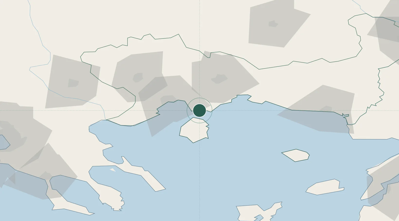
Place type
Populated place
Region
East Macedonia and Thrace
Population
1,438
Time zone
Europe/Athens
Elevation
2 m
Location
Nearby Logistics Neighbours
Cities
- 1Chrysoupoli13 km
- 2Prinos Thassou17 km
- 3Néa Karváli19 km
- 4Kavála26 km
- 5Amigdaleonas30 km
Ports
- 1Kavala26 km
- 2Lagos39 km
- 3Stratoni83 km
- 4Alexandroupoli100 km
- 5Yerakini124 km
Airports
Trade Zones
- 1Kuklen Industrial and Commercial Zone131 km
- 2Plovdiv Free Zone139 km
- 3Trakia Economic Zone143 km
- 4Maritsa Industrial and Commercial Zone149 km
- 5Free Zone of Thessaloniki152 km
DatabookThe Record of Consolidated Knowledge
Greece beyond logistics?