Transport Functions
Port
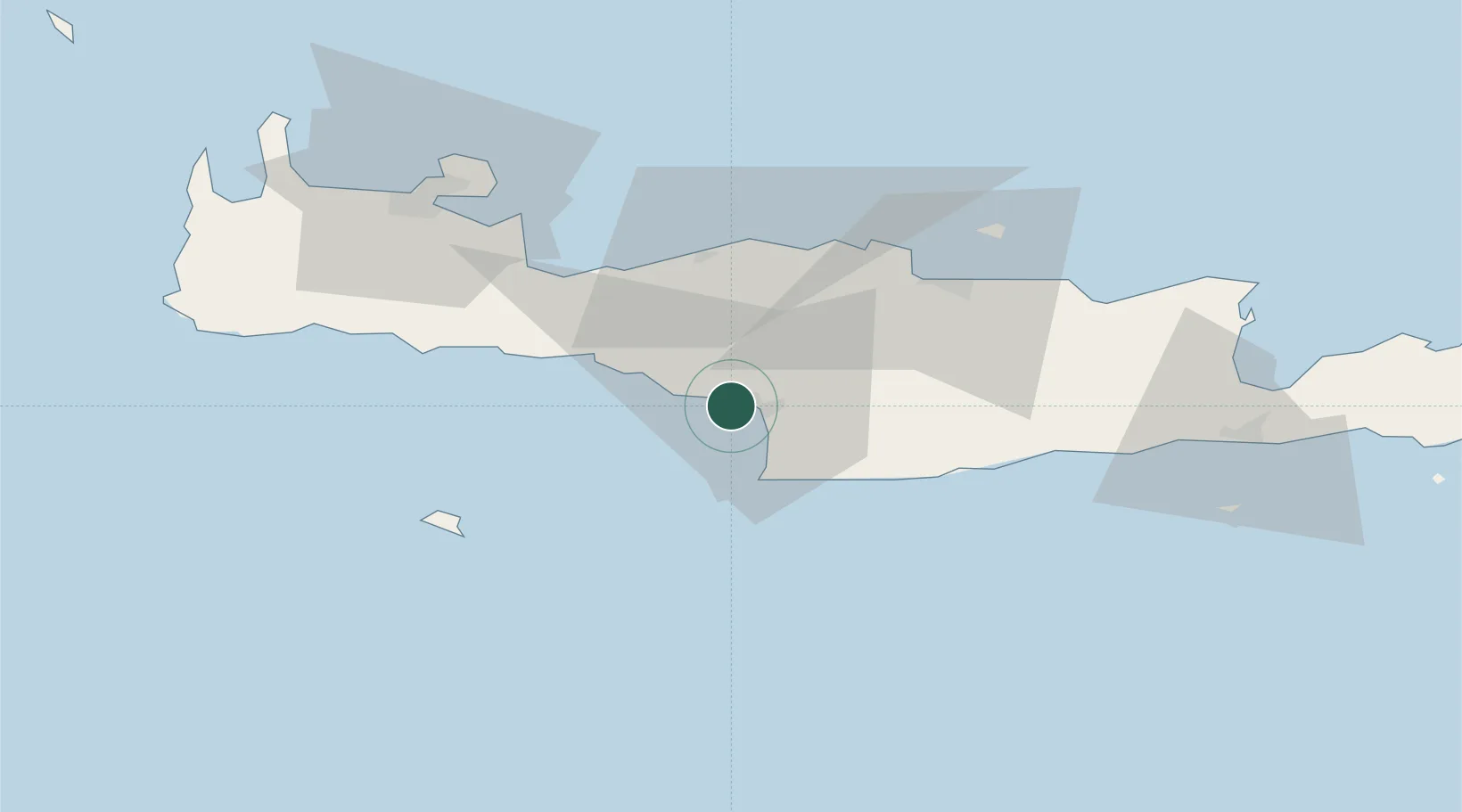
Hub Profile
Place type
Populated place
Region
Crete
Population
1,369
Time zone
Europe/Athens
Elevation
25 m
Location
Nearby Logistics Neighbours
Cities
- 1Kalilimenes20 km
- 2Plakias30 km
- 3Réthymnon37 km
- 4Linoperamata Hrakliou45 km
- 5Kounavoi48 km
Ports
- 1Kali Limenes22 km
- 2Rethimnon37 km
- 3Iraklion52 km
- 4Soudha64 km
- 5Ayios Nikolaos95 km
Airports
Trade Zones
- 1Free Zone of Heraklion39 km
- 2Free Zone of Piraeus332 km
- 3Tobruk Free Zone345 km
- 4Aegean Free Zone422 km
- 5Tire Organized Industrial Zone432 km
DatabookThe Record of Consolidated Knowledge
Greece beyond logistics?