Transport Functions
Port
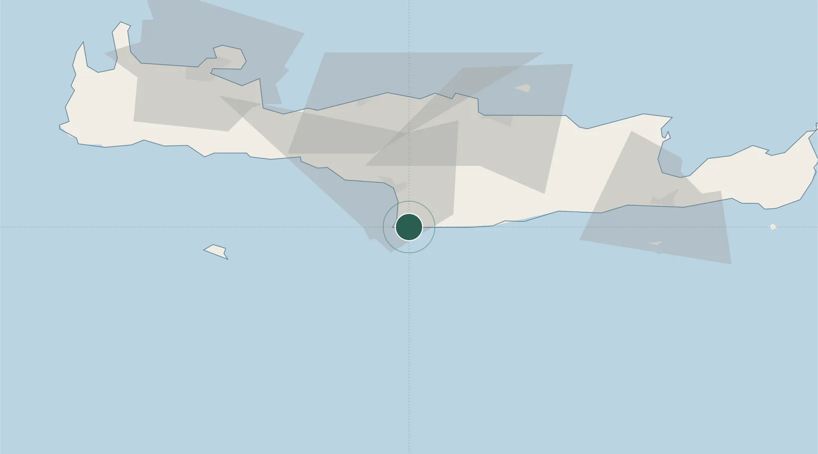
Location
Nearby Logistics Neighbours
Cities
- 1Agia Galini20 km
- 2Plakias47 km
- 3Kounavoi48 km
- 4Linoperamata Hrakliou52 km
- 5Thrapsanon52 km
Ports
- 1Iraklion56 km
- 2Rethimnon57 km
- 3Soudha83 km
- 4Ayios Nikolaos89 km
- 5Sitia125 km
Airports
Trade Zones
- 1Free Zone of Heraklion40 km
- 2Tobruk Free Zone331 km
- 3Free Zone of Piraeus351 km
- 4Aegean Free Zone432 km
- 5Tire Organized Industrial Zone439 km
DatabookThe Record of Consolidated Knowledge
Greece beyond logistics?