Transport Functions
Multimodal
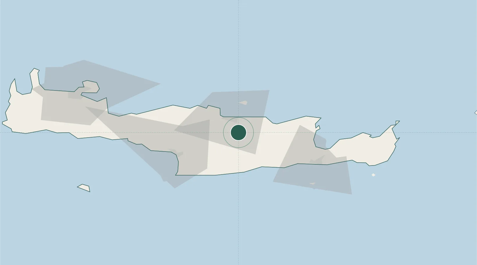
Hub Profile
Place type
Populated place
Region
Crete
Time zone
Europe/Athens
Elevation
337 m
Location
Nearby Logistics Neighbours
Cities
- 1Thrapsanon11 km
- 2Heraklion (Iraklion)13 km
- 3Linoperamata Hrakliou18 km
- 4Malia26 km
- 5Kalilimenes48 km
Ports
- 1Iraklion13 km
- 2Kali Limenes46 km
- 3Ayios Nikolaos49 km
- 4Rethimnon67 km
- 5Sitia86 km
Airports
Trade Zones
- 1Free Zone of Heraklion10 km
- 2Free Zone of Piraeus333 km
- 3Tobruk Free Zone373 km
- 4Aegean Free Zone386 km
- 5Tire Organized Industrial Zone392 km
DatabookThe Record of Consolidated Knowledge
Greece beyond logistics?