Medium airport · Greece
Sitia AirportLGST
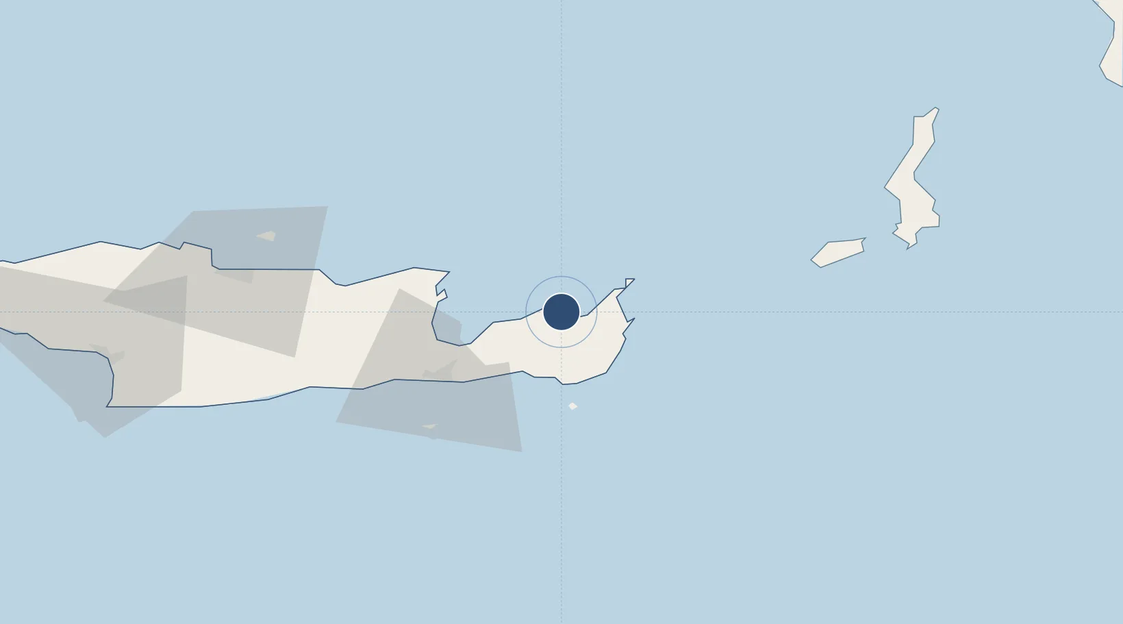
35.2161°, 26.1013°
6,804 ft
Longest runway
1
Runways
376 ft
Elevation
Runway & Layout

Radio Frequencies
A/G
563.7 MHz
RDO
AFIS
122.6 MHz
INFO
Navaids
SHT VOR-DME Sitia 112.90 MHz
SIT VOR-DME Sitia 113.30 MHz
Runways · 1
| Runway | Dimensions | Surface | True heading | Lit |
|---|---|---|---|---|
| 05/23 | 6,804 × 148ft | Asphalt | 050° | ✓ |
Airport Specifications
IATA code
JSH
ICAO code
LGST
Airport class
Medium airport
Scheduled service
Yes
Runway surface
Asphalt
Served city
Crete Island
Location
Nearby Logistics Neighbours
Airports
Cities
- 1Siteía2 km
- 2Altsi21 km
- 3Makriyialos24 km
- 4Atherinolakos Ierapetras24 km
- 5Agios Nikólaos, Kríti35 km
Ports
- 1Sitia3 km
- 2Ayios Nikolaos35 km
- 3Iraklion88 km
- 4Kali Limenes120 km
- 5Rethimnon149 km
Trade Zones
- 1Free Zone of Heraklion92 km
- 2Tire Organized Industrial Zone353 km
- 3Aegean Free Zone359 km
- 4Izmir Ataturk Organized Industrial Zone374 km
- 5Free Zone of Piraeus376 km
DatabookThe Record of Consolidated Knowledge
Greece beyond logistics?