UN/LOCODE hub · Greece
GRPAS

Páros

37.0833°, 25.1500°
5,289
Population
2
Transport functions

Transport Functions

Port
Airport
UN/LOCODE

Hub Profile

Place type
District seat
GeoNames
Region
South Aegean
GeoNames
Population
5,289
GeoNames
Time zone
Europe/Athens
GeoNames
Elevation
10 m
GeoNames

Location

Location of GRPAS
Natural Earth 10m (public domain) · South Aegean · GRPAS · 37.08, 25.15GoogleOSMYandex

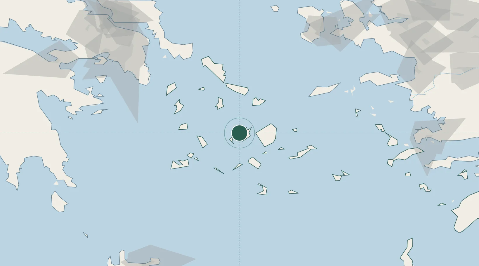
Nearby Logistics Neighbours

Cities
  1. 1Antiparos8 km
  2. 2Naoussa Parou8 km
  3. 3Náxos21 km
  4. 4Delos37 km
  5. 5Herakleia Kykladon37 km
Nearest neighbours — logibook spatial index (haversine) over the source coordinates
Ports
  1. 1Nisos Naxos19 km
  2. 2Limin Sirou43 km
  3. 3Mikonos44 km
  4. 4Milos74 km
  5. 5Andros85 km
Nearest neighbours — logibook spatial index (haversine) over the source coordinates
Airports
  1. 1Paros National Airport8 km
  2. 2Naxos Island National Airport19 km
  3. 3Syros Airport42 km
  4. 4Mykonos Island National Airport43 km
  5. 5Milos Airport74 km
Nearest neighbours — logibook spatial index (haversine) over the source coordinates
Trade Zones
  1. 1Free Zone of Piraeus166 km
  2. 2Free Zone of Heraklion209 km
  3. 3Aegean Free Zone223 km
  4. 4Izmir Ataturk Organized Industrial Zone228 km
  5. 5Izmir Free Zone231 km
Nearest neighbours — logibook spatial index (haversine) over the source coordinates
DatabookThe Record of Consolidated Knowledge
Greece beyond logistics?
Browse databook

All Sources

LocationsUN/LOCODE
UN/LOCODE — free
LocationsGeoNames
CC BY 4.0
Portsthe NGA World Port Index
Public domain (US gov)
AirportsOurAirports
Public domain
Trade Zonesthe World Bank SEZ database
CC BY 4.0
Trade ZonesOpen Zone Map
CC BY
← Greece locations