Transport Functions
Port
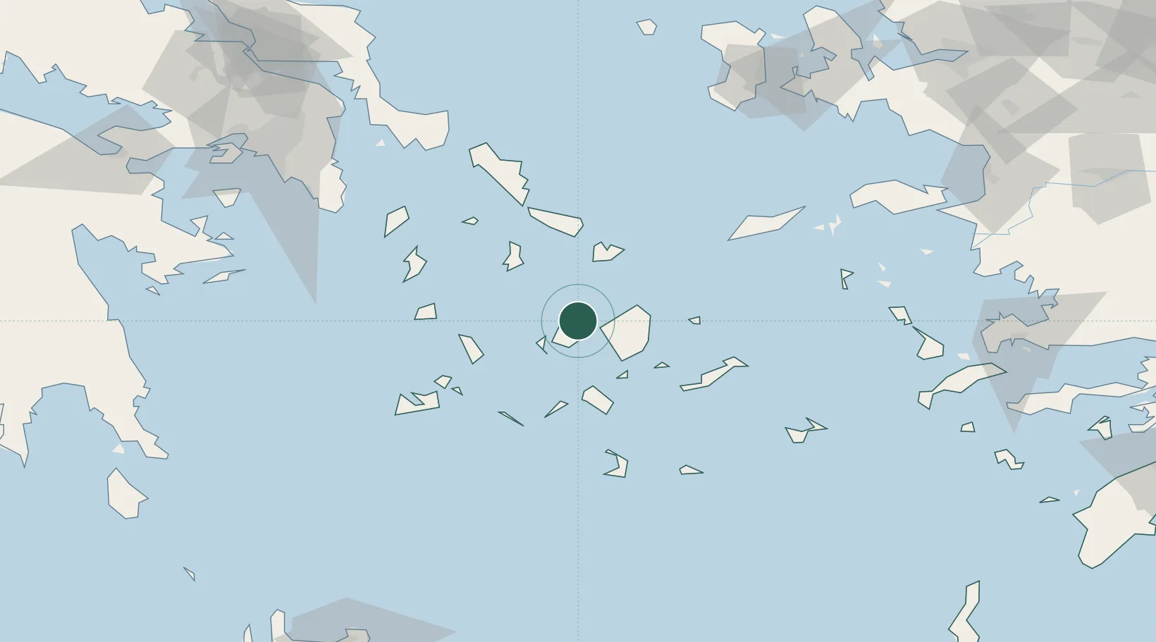
Location
Nearby Logistics Neighbours
Ports
- 1Nisos Naxos12 km
- 2Mikonos38 km
- 3Limin Sirou43 km
- 4Milos83 km
- 5Andros84 km
Airports
- 1Naxos Island National Airport13 km
- 2Paros National Airport15 km
- 3Mykonos Island National Airport37 km
- 4Syros Airport42 km
- 5Milos Airport82 km
Trade Zones
- 1Free Zone of Piraeus170 km
- 2Free Zone of Heraklion213 km
- 3Aegean Free Zone215 km
- 4Izmir Ataturk Organized Industrial Zone220 km
- 5Izmir Free Zone224 km
DatabookThe Record of Consolidated Knowledge
Greece beyond logistics?