Transport Functions
Port
Hub Profile
Place type
District seat
Region
South Aegean
Time zone
Europe/Athens
Elevation
2 m
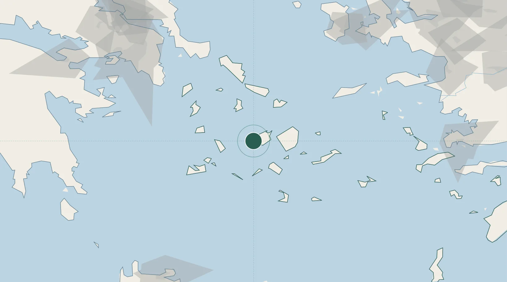
Location
Nearby Logistics Neighbours
Cities
- 1Páros8 km
- 2Naoussa Parou16 km
- 3Náxos28 km
- 4Sikinos37 km
- 5Kamares Sifnos37 km
Ports
- 1Nisos Naxos26 km
- 2Limin Sirou46 km
- 3Mikonos51 km
- 4Milos66 km
- 5Andros90 km
Airports
- 1Paros National Airport3 km
- 2Naxos Island National Airport26 km
- 3Syros Airport45 km
- 4Mykonos Island National Airport51 km
- 5Milos Airport66 km
Trade Zones
- 1Free Zone of Piraeus165 km
- 2Free Zone of Heraklion204 km
- 3Aegean Free Zone231 km
- 4Izmir Ataturk Organized Industrial Zone236 km
- 5Izmir Free Zone240 km
DatabookThe Record of Consolidated Knowledge
Greece beyond logistics?