Transport Functions
Port
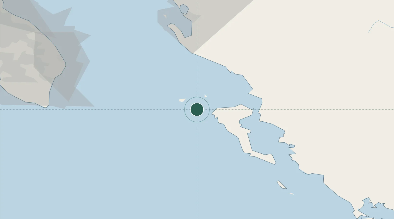
Location
Nearby Logistics Neighbours
Cities
- 1Ereikousses Diapontioi Islands10 km
- 2Agios Stefanos Avliotes12 km
- 3Othonoí12 km
- 4Ypsos29 km
- 5Gouvion32 km
Airports
Trade Zones
- 1Gjirokastër Freezone63 km
- 2Vlora Technical and Economic Development Area78 km
- 3Përmet Freezone88 km
- 4Fier Freezone104 km
- 5Korçë Freezone145 km
DatabookThe Record of Consolidated Knowledge
Greece beyond logistics?