Transport Functions
Port
Road
Hub Profile
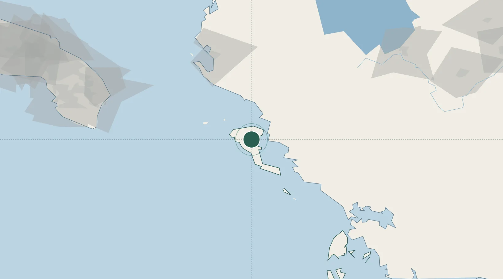
Place type
Populated place
Region
Ionian Islands
Population
769
Time zone
Europe/Athens
Elevation
19 m
Location
Nearby Logistics Neighbours
Cities
- 1Gouvion6 km
- 2Kassiopis12 km
- 3Kassiopi Corfu12 km
- 4Kérkira (Corfu)12 km
- 5Agios Stefanos Corfu12 km
Airports
Trade Zones
- 1Gjirokastër Freezone50 km
- 2Përmet Freezone75 km
- 3Vlora Technical and Economic Development Area93 km
- 4Fier Freezone115 km
- 5Korçë Freezone133 km
DatabookThe Record of Consolidated Knowledge
Greece beyond logistics?