Transport Functions
Port
Road
Hub Profile
Region
F
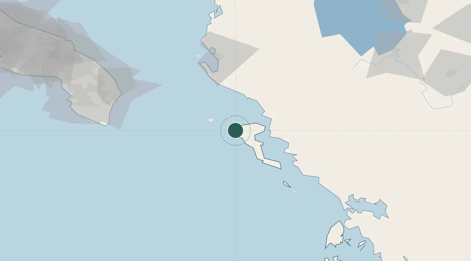
Location
Nearby Logistics Neighbours
Cities
- 1Mathraki Diapontioi Island12 km
- 2Ereikousses Diapontioi Islands15 km
- 3Ypsos17 km
- 4Gouvion20 km
- 5Kassiopis23 km
Airports
Trade Zones
- 1Gjirokastër Freezone56 km
- 2Përmet Freezone81 km
- 3Vlora Technical and Economic Development Area84 km
- 4Fier Freezone107 km
- 5Korçë Freezone139 km
DatabookThe Record of Consolidated Knowledge
Greece beyond logistics?