UN/LOCODE hub · Greece
GRMGL

Magoúla

38.0833°, 23.5167°
4,735
Population
2
Transport functions

Transport Functions

Port
Road
UN/LOCODE

Hub Profile

Place type
Populated place
GeoNames
Region
Attica
GeoNames
Population
4,735
GeoNames
Time zone
Europe/Athens
GeoNames
Elevation
76 m
GeoNames

Location

Location of GRMGL
Natural Earth 10m (public domain) · Attica · GRMGL · 38.08, 23.52GoogleOSMYandex

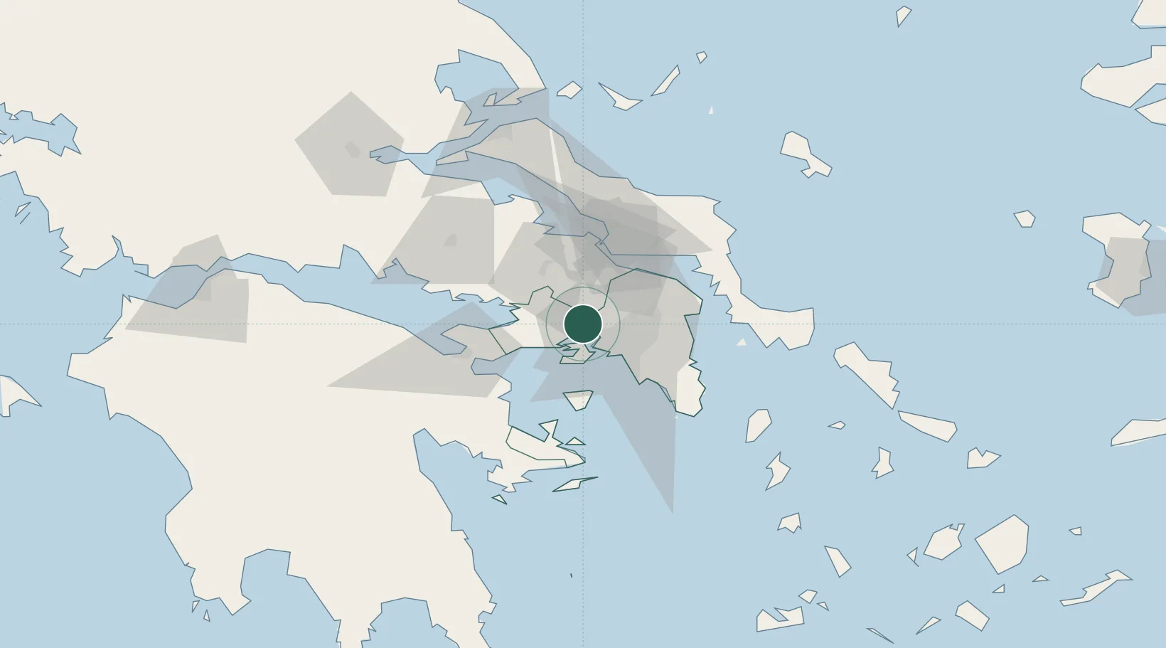
Nearby Logistics Neighbours

Cities
  1. 1Mandra Attikis2 km
  2. 2Eleusina6 km
  3. 3Eleusis6 km
  4. 4Skaramangás11 km
  5. 5Piraeus11 km
Nearest neighbours — logibook spatial index (haversine) over the source coordinates
Ports
  1. 1Megara Oil Terminal17 km
  2. 2Piraievs20 km
  3. 3Ormos Aliveriou57 km
  4. 4Lavrio64 km
  5. 5Kymassi84 km
Nearest neighbours — logibook spatial index (haversine) over the source coordinates
Airports
  1. 1Elefsis Air Base4 km
  2. 2Tanagra Air Base29 km
  3. 3Athens Eleftherios Venizelos International Airport41 km
  4. 4Skiathos Island National Airport122 km
  5. 5Skiros Airport130 km
Nearest neighbours — logibook spatial index (haversine) over the source coordinates
Trade Zones
  1. 1Free Zone of Piraeus17 km
  2. 2Free Zone of Platigiali (Astakos Etoloakarnanias)215 km
  3. 3Free Zone of Thessaloniki288 km
  4. 4TIDZ Gevgelija357 km
  5. 5Përmet Freezone363 km
Nearest neighbours — logibook spatial index (haversine) over the source coordinates
DatabookThe Record of Consolidated Knowledge
Greece beyond logistics?
Browse databook

All Sources

LocationsUN/LOCODE
UN/LOCODE — free
LocationsGeoNames
CC BY 4.0
Portsthe NGA World Port Index
Public domain (US gov)
AirportsOurAirports
Public domain
Trade Zonesthe World Bank SEZ database
CC BY 4.0
Trade ZonesOpen Zone Map
CC BY
← Greece locations