UN/LOCODE hub · Greece
GRKLI

Klima

39.1333°, 23.6500°
1
Transport functions

Transport Functions

Port
UN/LOCODE

Hub Profile

Place type
Populated place
GeoNames
Region
Central Greece
GeoNames
Time zone
Europe/Athens
GeoNames
Elevation
33 m
GeoNames

Location

Location of GRKLI
Natural Earth 10m (public domain) · Central Greece · GRKLI · 39.13, 23.65GoogleOSMYandex

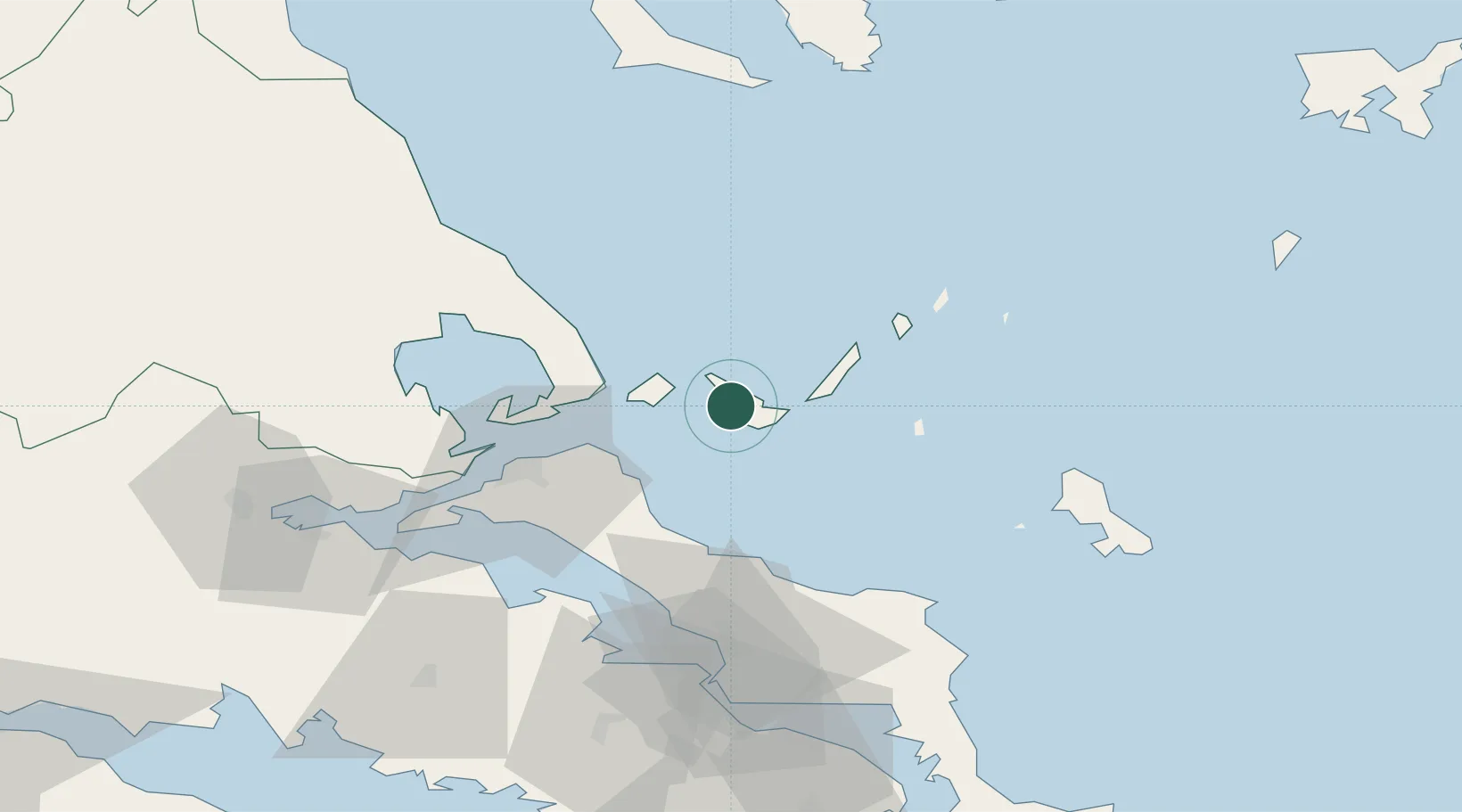
Nearby Logistics Neighbours

Cities
  1. 1Glossa5 km
  2. 2Agnontas Skopelos7 km
  3. 3Skíathos15 km
  4. 4Alónnisos19 km
  5. 5Platania33 km
Nearest neighbours — logibook spatial index (haversine) over the source coordinates
Ports
  1. 1Kymassi37 km
  2. 2Volos66 km
  3. 3Tsingeli69 km
  4. 4Achladi77 km
  5. 5Ormos Aliveriou90 km
Nearest neighbours — logibook spatial index (haversine) over the source coordinates
Airports
  1. 1Skiathos Island National Airport14 km
  2. 2Nea Anchialos National Airport74 km
  3. 3Skiros Airport75 km
  4. 4Tanagra Air Base89 km
  5. 5Elefsis Air Base119 km
Nearest neighbours — logibook spatial index (haversine) over the source coordinates
Trade Zones
  1. 1Free Zone of Piraeus132 km
  2. 2Free Zone of Thessaloniki178 km
  3. 3Free Zone of Platigiali (Astakos Etoloakarnanias)233 km
  4. 4TIDZ Gevgelija250 km
  5. 5TIDZ Strumica263 km
Nearest neighbours — logibook spatial index (haversine) over the source coordinates
DatabookThe Record of Consolidated Knowledge
Greece beyond logistics?
Browse databook

All Sources

LocationsUN/LOCODE
UN/LOCODE — free
Portsthe NGA World Port Index
Public domain (US gov)
AirportsOurAirports
Public domain
Trade Zonesthe World Bank SEZ database
CC BY 4.0
Trade ZonesOpen Zone Map
CC BY
← Greece locations