UN/LOCODE hub · Greece
GRPIA

Platania

39.1333°, 23.2667°
1
Transport functions

Transport Functions

Port
UN/LOCODE

Hub Profile

Place type
Populated place
GeoNames
Region
Central Greece
GeoNames
Time zone
Europe/Athens
GeoNames
Elevation
413 m
GeoNames

Location

Location of GRPIA
Natural Earth 10m (public domain) · Central Greece · GRPIA · 39.13, 23.27GoogleOSMYandex

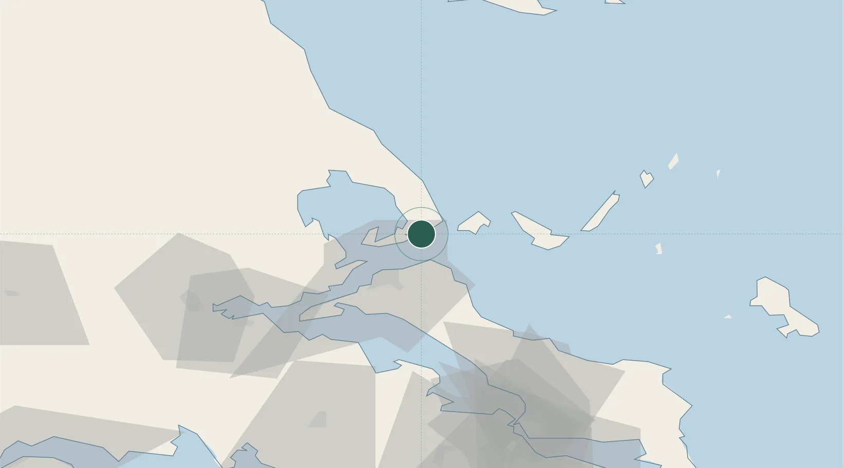
Nearby Logistics Neighbours

Cities
  1. 1Peyki Evvoias15 km
  2. 2Agia Kyriaki (Trikeri Magnisia)18 km
  3. 3Trikeri Island18 km
  4. 4Skíathos19 km
  5. 5Orei26 km
Nearest neighbours — logibook spatial index (haversine) over the source coordinates
Ports
  1. 1Tsingeli36 km
  2. 2Kymassi38 km
  3. 3Volos38 km
  4. 4Achladi47 km
  5. 5Itea107 km
Nearest neighbours — logibook spatial index (haversine) over the source coordinates
Airports
  1. 1Skiathos Island National Airport21 km
  2. 2Nea Anchialos National Airport42 km
  3. 3Tanagra Air Base92 km
  4. 4Skiros Airport107 km
  5. 5Elefsis Air Base122 km
Nearest neighbours — logibook spatial index (haversine) over the source coordinates
Trade Zones
  1. 1Free Zone of Piraeus135 km
  2. 2Free Zone of Thessaloniki170 km
  3. 3Free Zone of Platigiali (Astakos Etoloakarnanias)201 km
  4. 4TIDZ Gevgelija239 km
  5. 5TIDZ Strumica255 km
Nearest neighbours — logibook spatial index (haversine) over the source coordinates
DatabookThe Record of Consolidated Knowledge
Greece beyond logistics?
Browse databook

All Sources

LocationsUN/LOCODE
UN/LOCODE — free
Portsthe NGA World Port Index
Public domain (US gov)
AirportsOurAirports
Public domain
Trade Zonesthe World Bank SEZ database
CC BY 4.0
Trade ZonesOpen Zone Map
CC BY
← Greece locations