UN/LOCODE hub · Greece
GRANL

Agnontas Skopelos

39.0833°, 23.7000°
1
Transport functions

Transport Functions

Port
UN/LOCODE

Hub Profile

Region
43
GeoNames

Location

Location of GRANL
Natural Earth 10m (public domain) · 43 · GRANL · 39.08, 23.70GoogleOSMYandex

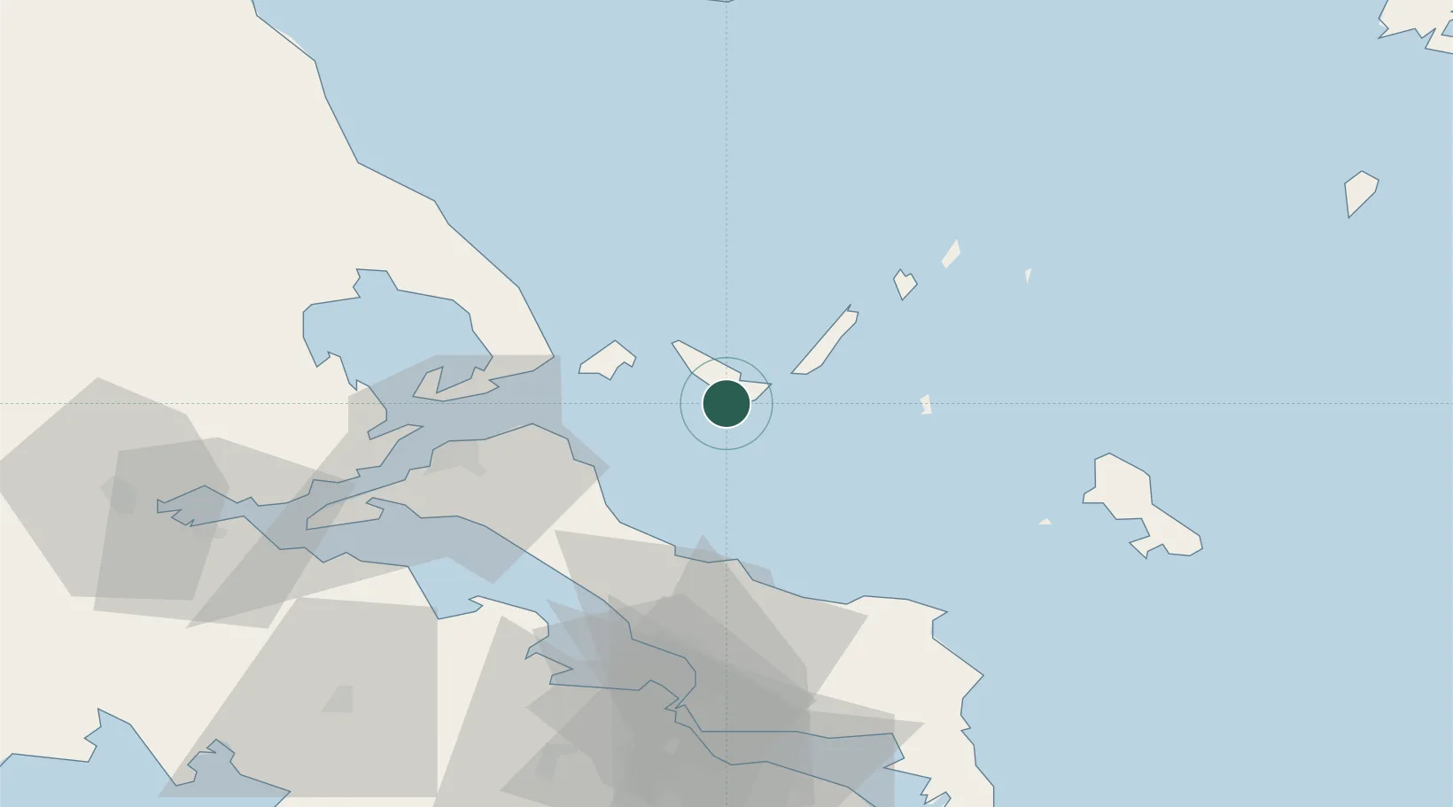
Nearby Logistics Neighbours

Cities
  1. 1Klima7 km
  2. 2Glossa12 km
  3. 3Alónnisos16 km
  4. 4Skíathos21 km
  5. 5Kimási35 km
Nearest neighbours — logibook spatial index (haversine) over the source coordinates
Ports
  1. 1Kymassi34 km
  2. 2Volos72 km
  3. 3Tsingeli74 km
  4. 4Achladi79 km
  5. 5Ormos Aliveriou84 km
Nearest neighbours — logibook spatial index (haversine) over the source coordinates
Airports
  1. 1Skiathos Island National Airport20 km
  2. 2Skiros Airport69 km
  3. 3Nea Anchialos National Airport80 km
  4. 4Tanagra Air Base84 km
  5. 5Elefsis Air Base114 km
Nearest neighbours — logibook spatial index (haversine) over the source coordinates
Trade Zones
  1. 1Free Zone of Piraeus127 km
  2. 2Free Zone of Thessaloniki185 km
  3. 3Free Zone of Platigiali (Astakos Etoloakarnanias)235 km
  4. 4TIDZ Gevgelija256 km
  5. 5TIDZ Strumica270 km
Nearest neighbours — logibook spatial index (haversine) over the source coordinates
DatabookThe Record of Consolidated Knowledge
Greece beyond logistics?
Browse databook

All Sources

LocationsUN/LOCODE
UN/LOCODE — free
Portsthe NGA World Port Index
Public domain (US gov)
AirportsOurAirports
Public domain
Trade Zonesthe World Bank SEZ database
CC BY 4.0
Trade ZonesOpen Zone Map
CC BY
← Greece locations