UN/LOCODE hub · Greece
GRGLO

Glossa

39.1667°, 23.6167°
987
Population
1
Transport functions

Transport Functions

Port
UN/LOCODE

Hub Profile

Place type
Populated place
GeoNames
Region
Thessaly
GeoNames
Population
987
GeoNames
Time zone
Europe/Athens
GeoNames
Elevation
219 m
GeoNames

Location

Location of GRGLO
Natural Earth 10m (public domain) · Thessaly · GRGLO · 39.17, 23.62GoogleOSMYandex

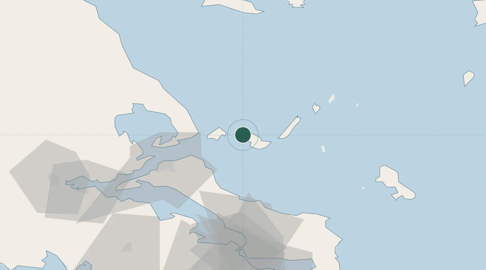
Nearby Logistics Neighbours

Cities
  1. 1Klima5 km
  2. 2Skíathos12 km
  3. 3Agnontas Skopelos12 km
  4. 4Alónnisos22 km
  5. 5Platania30 km
Nearest neighbours — logibook spatial index (haversine) over the source coordinates
Ports
  1. 1Kymassi39 km
  2. 2Volos62 km
  3. 3Tsingeli66 km
  4. 4Achladi75 km
  5. 5Ormos Aliveriou95 km
Nearest neighbours — logibook spatial index (haversine) over the source coordinates
Airports
  1. 1Skiathos Island National Airport10 km
  2. 2Nea Anchialos National Airport71 km
  3. 3Skiros Airport78 km
  4. 4Tanagra Air Base92 km
  5. 5Elefsis Air Base123 km
Nearest neighbours — logibook spatial index (haversine) over the source coordinates
Trade Zones
  1. 1Free Zone of Piraeus136 km
  2. 2Free Zone of Thessaloniki174 km
  3. 3Free Zone of Platigiali (Astakos Etoloakarnanias)231 km
  4. 4TIDZ Gevgelija245 km
  5. 5TIDZ Strumica259 km
Nearest neighbours — logibook spatial index (haversine) over the source coordinates
DatabookThe Record of Consolidated Knowledge
Greece beyond logistics?
Browse databook

All Sources

LocationsUN/LOCODE
UN/LOCODE — free
LocationsGeoNames
CC BY 4.0
Portsthe NGA World Port Index
Public domain (US gov)
AirportsOurAirports
Public domain
Trade Zonesthe World Bank SEZ database
CC BY 4.0
Trade ZonesOpen Zone Map
CC BY
← Greece locations