Seaport · Greece
VolosGRVOL
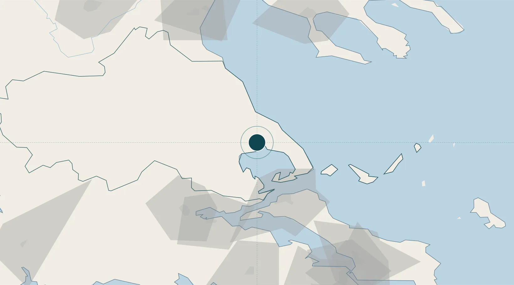
39.3667°, 22.9500°
9.4 m
Channel depth
1
Container terminals
10.9
Port liner connectivity
Channel & Berth Profile
Pilotage, Tugs & Services
Pilotage compulsoryYES
Pilotage availableYES
Pilotage advisableYES
Tug assistanceYES
Potable waterYES
Diesel bunkersYES
MedicalYES
Garbage disposalYES
Facilities & Capabilities
Container—
Ro-Ro—
Liquid bulk—
Dry bulk—
Oil terminal—
Break bulk—
Dry dock—
RepairsNO
BunkeringYES
Rail linkYES
Dangerous cargo—
ISPS security—
Harbour Specifications
Harbour size
Medium
Harbour type
Coastal (Breakwater)
Shelter
Good
Water body
Aegean Sea; Mediterranean Sea; North Atlantic Ocean
Tidal range
1 m
Pilotage
Yes
Liner Connectivity
10.9
PLSCI
Port Liner Shipping Connectivity Index for Volos, as published by UNCTAD for the latest available quarter. Higher values indicate stronger scheduled liner-shipping integration.
Shown relative to the highest per-port PLSCI in the dataset (1,657.9).
Location
Container Terminals · 1
VOLOS PORT AUTHORITY
VPA VOLOS PORT AUTHORITY SA
Nearby Logistics Neighbours
Cities
- 1Agriá6 km
- 2Amaliápolis23 km
- 3Tsingéli24 km
- 4Agia Kyriaki (Trikeri Magnisia)33 km
- 5Trikeri Island33 km
Airports
Trade Zones
- 1Free Zone of Thessaloniki141 km
- 2Free Zone of Piraeus168 km
- 3Free Zone of Platigiali (Astakos Etoloakarnanias)188 km
- 4TIDZ Gevgelija207 km
- 5TIDZ Strumica226 km
DatabookThe Record of Consolidated Knowledge
Greece beyond logistics?