Transport Functions
Port
Multimodal
Hub Profile
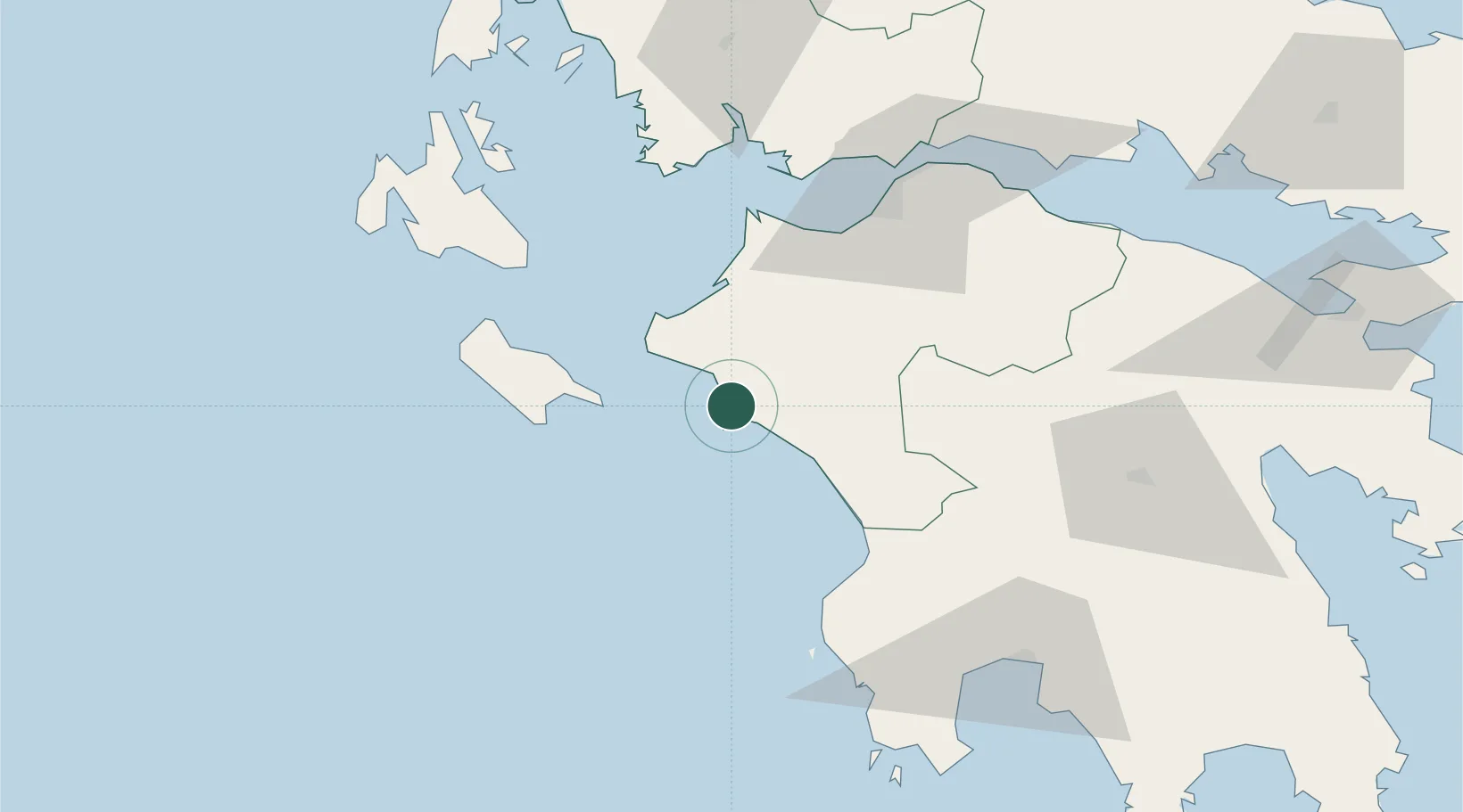
Place type
Populated place
Region
West Greece
Population
248
Time zone
Europe/Athens
Elevation
53 m
Location
Nearby Logistics Neighbours
Ports
- 1Katakolon6 km
- 2Patrai71 km
- 3Mesolongion75 km
- 4Astakos90 km
- 5Argostolion90 km
Airports
Trade Zones
- 1Free Zone of Platigiali (Astakos Etoloakarnanias)89 km
- 2Free Zone of Piraeus202 km
- 3Gjirokastër Freezone282 km
- 4Përmet Freezone295 km
- 5Korçë Freezone330 km
DatabookThe Record of Consolidated Knowledge
Greece beyond logistics?