Transport Functions
Port
Road
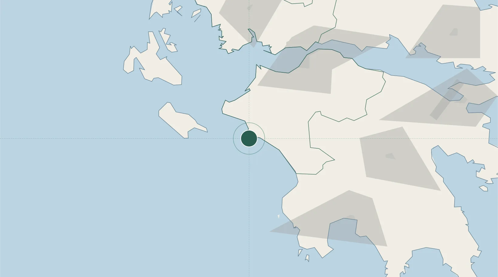
Location
Nearby Logistics Neighbours
Ports
- 1Patrai76 km
- 2Mesolongion80 km
- 3Pilos89 km
- 4Argostolion92 km
- 5Astakos95 km
Airports
Trade Zones
- 1Free Zone of Platigiali (Astakos Etoloakarnanias)94 km
- 2Free Zone of Piraeus204 km
- 3Gjirokastër Freezone287 km
- 4Përmet Freezone300 km
- 5Korçë Freezone335 km
DatabookThe Record of Consolidated Knowledge
Greece beyond logistics?