UN/LOCODE hub · Greece
GRANA

Anáfi

36.3500°, 25.7667°
1
Transport functions

Transport Functions

Port
UN/LOCODE

Hub Profile

Place type
District seat
GeoNames
Region
South Aegean
GeoNames
Time zone
Europe/Athens
GeoNames
Elevation
202 m
GeoNames

Location

Location of GRANA
Natural Earth 10m (public domain) · South Aegean · GRANA · 36.35, 25.77GoogleOSMYandex

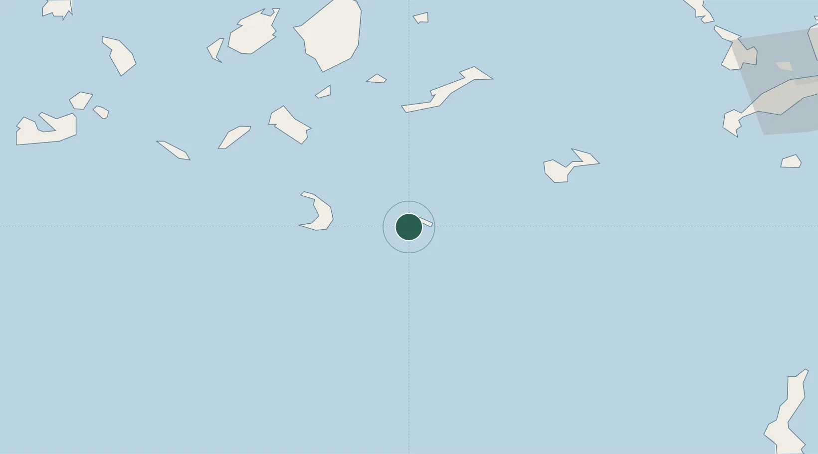
Nearby Logistics Neighbours

Cities
  1. 1Thíra31 km
  2. 2Athinios Thira Santorini32 km
  3. 3Oia Kyklades37 km
  4. 4Thirasía38 km
  5. 5Katápola55 km
Nearest neighbours — logibook spatial index (haversine) over the source coordinates
Ports
  1. 1Nisos Naxos91 km
  2. 2Iraklion124 km
  3. 3Milos125 km
  4. 4Kalimnos127 km
  5. 5Ayios Nikolaos128 km
Nearest neighbours — logibook spatial index (haversine) over the source coordinates
Airports
  1. 1Santorini International Airport26 km
  2. 2Astypalaia Airport60 km
  3. 3Naxos Island National Airport89 km
  4. 4Paros National Airport95 km
  5. 5Milos Airport122 km
Nearest neighbours — logibook spatial index (haversine) over the source coordinates
Trade Zones
  1. 1Free Zone of Heraklion142 km
  2. 2Aegean Free Zone252 km
  3. 3Free Zone of Piraeus261 km
  4. 4Tire Organized Industrial Zone261 km
  5. 5Izmir Ataturk Organized Industrial Zone263 km
Nearest neighbours — logibook spatial index (haversine) over the source coordinates
DatabookThe Record of Consolidated Knowledge
Greece beyond logistics?
Browse databook

All Sources

LocationsUN/LOCODE
UN/LOCODE — free
Portsthe NGA World Port Index
Public domain (US gov)
AirportsOurAirports
Public domain
Trade Zonesthe World Bank SEZ database
CC BY 4.0
Trade ZonesOpen Zone Map
CC BY
← Greece locations