Transport Functions
Port
Airport
Hub Profile
Place type
Provincial seat
Region
North Aegean
Population
23,953
Time zone
Europe/Athens
Elevation
9 m
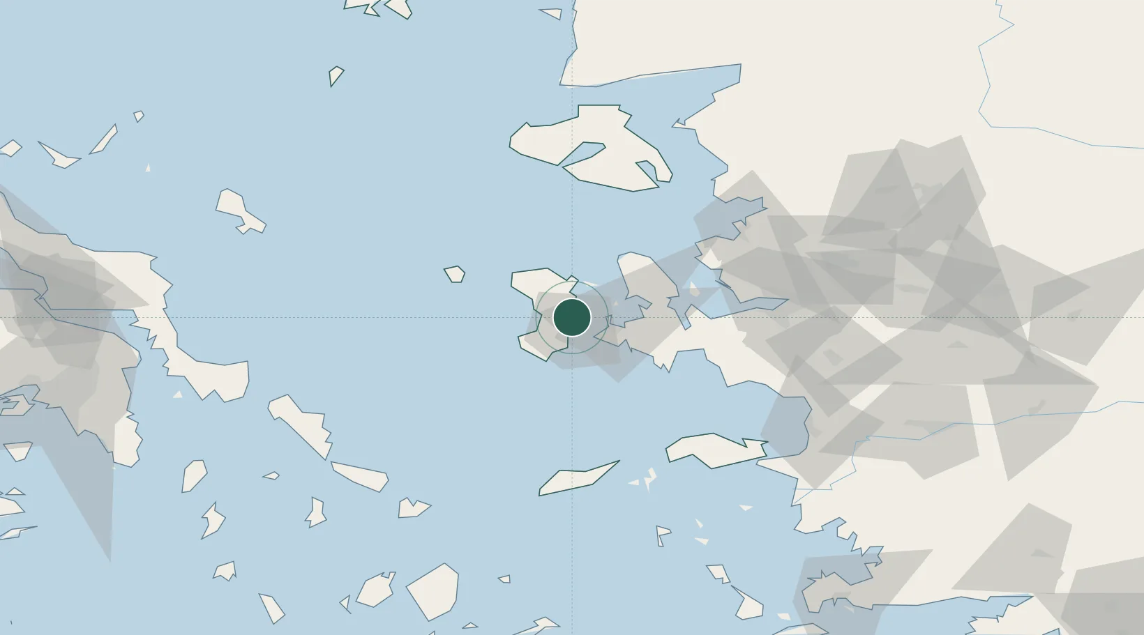
Location
Nearby Logistics Neighbours
Cities
- 1Çesme16 km
- 2Inousses18 km
- 3Kardámyla19 km
- 4Mesta Hiou20 km
- 5Volissos (Limnia) Chios22 km
Ports
- 1Plomarion72 km
- 2Neon Karlovas79 km
- 3Nemrut Limani Bay81 km
- 4Aliaga87 km
- 5Izmir88 km
Airports
Trade Zones
DatabookThe Record of Consolidated Knowledge
Greece beyond logistics?