Transport Functions
Port
Hub Profile
Place type
Provincial seat
Region
İzmir Province
Population
21,316
Time zone
Europe/Istanbul
Elevation
9 m
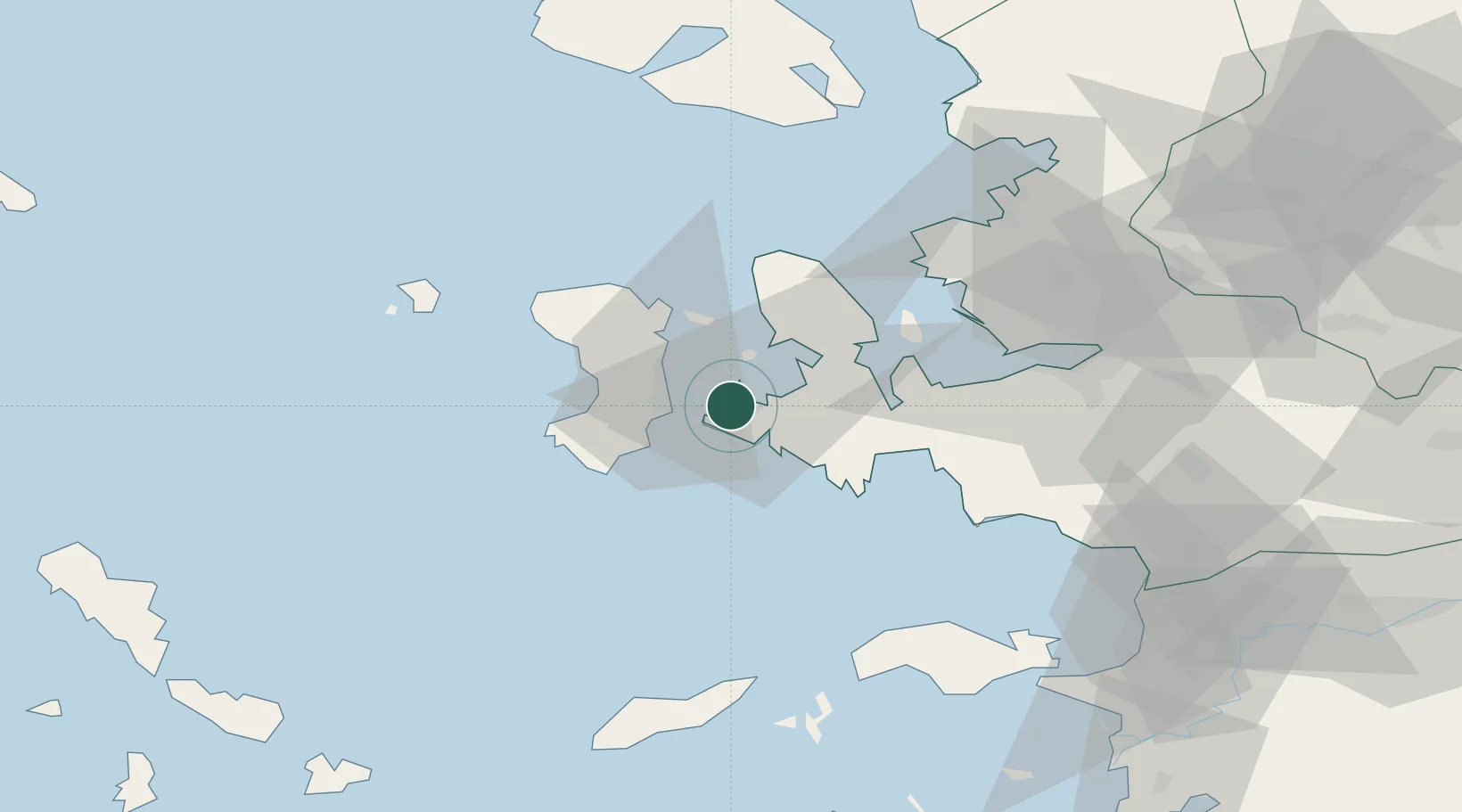
Location
Nearby Logistics Neighbours
Cities
- 1Chíos16 km
- 2Inousses23 km
- 3Kardámyla30 km
- 4Mesta Hiou32 km
- 5Volissos (Limnia) Chios37 km
Ports
- 1Khios16 km
- 2Neon Karlovas67 km
- 3Nemrut Limani Bay73 km
- 4Izmir74 km
- 5Plomarion74 km
Airports
Trade Zones
DatabookThe Record of Consolidated Knowledge
Türkiye beyond logistics?