Transport Functions
Port
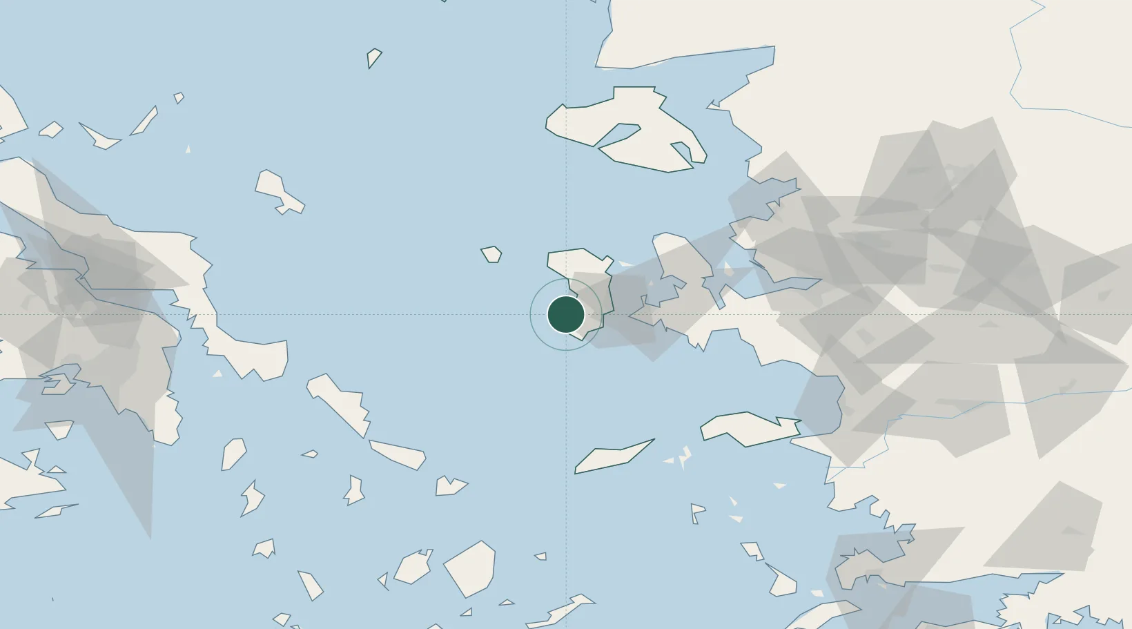
Location
Nearby Logistics Neighbours
Cities
- 1Chíos20 km
- 2Volissos (Limnia) Chios20 km
- 3Kardámyla31 km
- 4Çesme32 km
- 5Inousses36 km
Ports
- 1Khios20 km
- 2Neon Karlovas85 km
- 3Plomarion87 km
- 4Andros100 km
- 5Nemrut Limani Bay101 km
Airports
- 1Chios Island National Airport19 km
- 2Ikaria Airport76 km
- 3Çiğli Airbase97 km
- 4Mytilene International Airport104 km
- 5Adnan Menderes International Airport107 km
Trade Zones
DatabookThe Record of Consolidated Knowledge
Greece beyond logistics?