Transport Functions
Port
Road
Hub Profile
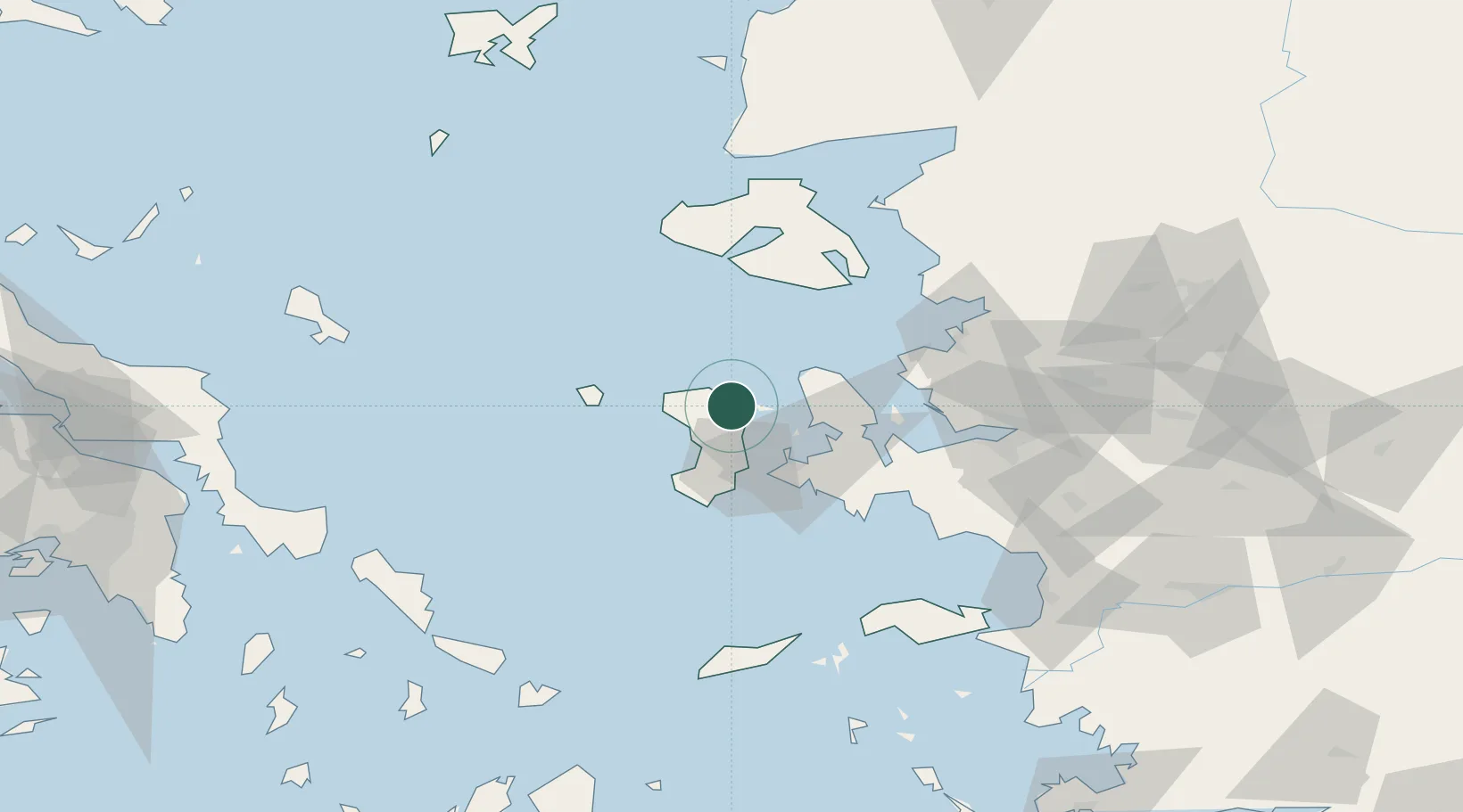
Place type
Populated place
Region
North Aegean
Population
710
Time zone
Europe/Athens
Elevation
62 m
Location
Nearby Logistics Neighbours
Cities
- 1Inousses10 km
- 2Volissos (Limnia) Chios18 km
- 3Chíos19 km
- 4Çesme30 km
- 5Mesta Hiou31 km
Ports
- 1Khios19 km
- 2Plomarion55 km
- 3Mitilini75 km
- 4Nemrut Limani Bay76 km
- 5Aliaga80 km
Airports
Trade Zones
DatabookThe Record of Consolidated Knowledge
Greece beyond logistics?