UN/LOCODE hub · Greece
GRINO

Inousses

38.5167°, 26.2167°
1
Transport functions

Transport Functions

Port
UN/LOCODE

Location

Location of GRINO
Natural Earth 10m (public domain) · Voreio Aigaio · GRINO · 38.52, 26.22GoogleOSMYandex

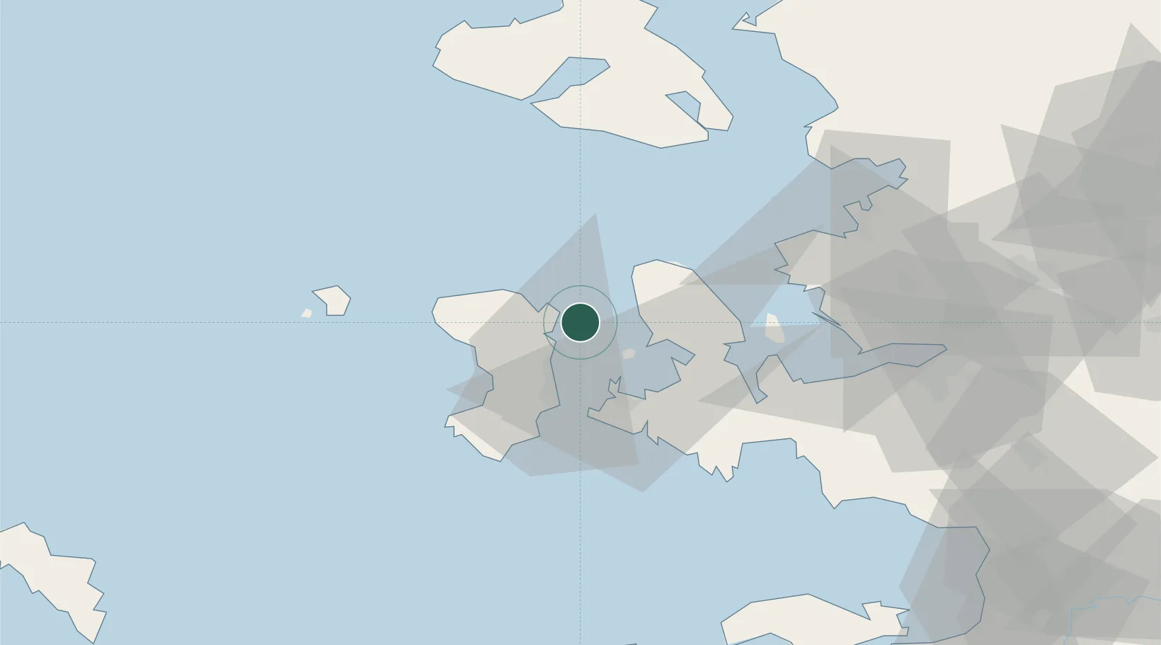
Nearby Logistics Neighbours

Cities
  1. 1Kardámyla10 km
  2. 2Chíos18 km
  3. 3Çesme23 km
  4. 4Volissos (Limnia) Chios27 km
  5. 5Mesta Hiou36 km
Nearest neighbours — logibook spatial index (haversine) over the source coordinates
Ports
  1. 1Khios18 km
  2. 2Plomarion54 km
  3. 3Nemrut Limani Bay67 km
  4. 4Aliaga72 km
  5. 5Mitilini72 km
Nearest neighbours — logibook spatial index (haversine) over the source coordinates
Airports
  1. 1Chios Island National Airport20 km
  2. 2Mytilene International Airport69 km
  3. 3Çiğli Airbase69 km
  4. 4Adnan Menderes International Airport86 km
  5. 5Ikaria Airport93 km
Nearest neighbours — logibook spatial index (haversine) over the source coordinates
Trade Zones
  1. 1Izmir Free Zone63 km
  2. 2Izmir Ataturk Organized Industrial Zone71 km
  3. 3Aliaga Kimya Ihtisas ve Karma Organized Industrial Zone80 km
  4. 4Aegean Free Zone82 km
  5. 5Manisa Organized Industrial Zone101 km
Nearest neighbours — logibook spatial index (haversine) over the source coordinates
DatabookThe Record of Consolidated Knowledge
Greece beyond logistics?
Browse databook

All Sources

LocationsUN/LOCODE
UN/LOCODE — free
Portsthe NGA World Port Index
Public domain (US gov)
AirportsOurAirports
Public domain
Trade Zonesthe World Bank SEZ database
CC BY 4.0
Trade ZonesOpen Zone Map
CC BY
← Greece locations