UN/LOCODE hub · Greece
GRHAL

Halki Dodekanison

36.2167°, 27.6000°
1
Transport functions

Transport Functions

Port
UN/LOCODE

Hub Profile

Region
81
GeoNames

Location

Location of GRHAL
Natural Earth 10m (public domain) · 81 · GRHAL · 36.22, 27.60GoogleOSMYandex

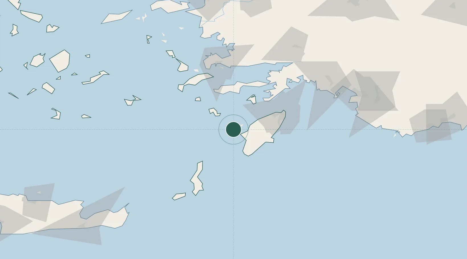
Nearby Logistics Neighbours

Cities
  1. 1Kamiros Skala20 km
  2. 2Tilos31 km
  3. 3Soroni40 km
  4. 4Prasonisi Rhodes40 km
  5. 5Lardos Rhodes42 km
Nearest neighbours — logibook spatial index (haversine) over the source coordinates
Ports
  1. 1Rodhos62 km
  2. 2Limin Kos81 km
  3. 3Bodrum92 km
  4. 4Marmaris93 km
  5. 5Kalimnos98 km
Nearest neighbours — logibook spatial index (haversine) over the source coordinates
Airports
  1. 1Rhodes International Airport "Diagoras"48 km
  2. 2Kos International Airport "Ippokratis"79 km
  3. 3Karpathos Airport97 km
  4. 4Kalymnos Airport102 km
  5. 5Kasos Airport108 km
Nearest neighbours — logibook spatial index (haversine) over the source coordinates
Trade Zones
  1. 1Tire Organized Industrial Zone212 km
  2. 2Aegean Free Zone240 km
  3. 3Free Zone of Heraklion254 km
  4. 4Denizli Free Zone255 km
  5. 5Izmir Ataturk Organized Industrial Zone258 km
Nearest neighbours — logibook spatial index (haversine) over the source coordinates
DatabookThe Record of Consolidated Knowledge
Greece beyond logistics?
Browse databook

All Sources

LocationsUN/LOCODE
UN/LOCODE — free
Portsthe NGA World Port Index
Public domain (US gov)
AirportsOurAirports
Public domain
Trade Zonesthe World Bank SEZ database
CC BY 4.0
Trade ZonesOpen Zone Map
CC BY
← Greece locations