Large airport · Greece
Kos International Airport "Ippokratis"LGKO
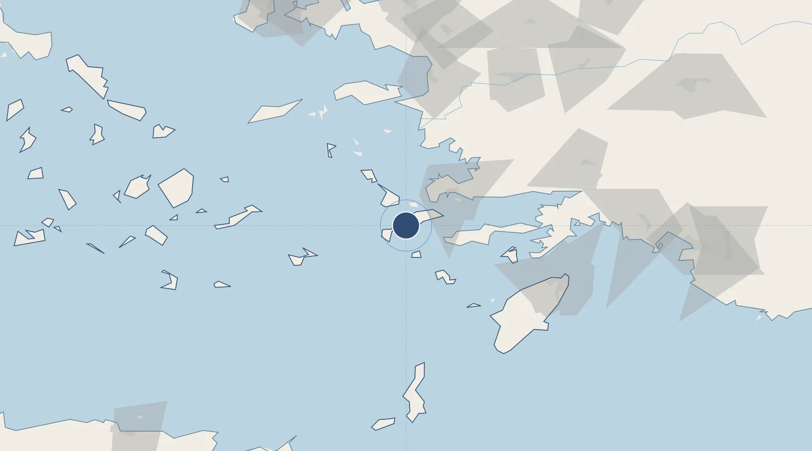
36.7945°, 27.0911°
7,841 ft
Longest runway
1
Runways
412 ft
Elevation
Runway & Layout

Radio Frequencies
ATIS
126.95 MHz
TWR
121.05 MHz
IPPOKRATIS TWR
APP
119.95 MHz
A/G
563.7 MHz
IPPOKRATIS RDO
Navaids
KOS VOR-DME Kos 109.00 MHz
KOS NDB Kos 311 kHz
Runways · 1
| Runway | Dimensions | Surface | True heading | Lit |
|---|---|---|---|---|
| 14/32 | 7,841 × 148ft | Asphalt | 148° | ✓ |
Airport Specifications
IATA code
KGS
ICAO code
LGKO
Airport class
Large airport
Scheduled service
Yes
Runway surface
Asphalt
Served city
Kos Island
Location
Nearby Logistics Neighbours
Airports
- 1Kalymnos Airport23 km
- 2Leros Airport51 km
- 3Astypalaia Airport68 km
- 4Milas Bodrum International Airport72 km
- 5Rhodes International Airport "Diagoras"99 km
Cities
- 1Kardamaina Kos5 km
- 2Mastichari Kos7 km
- 3Kefalos Ko13 km
- 4Phserimos Dodekanisou16 km
- 5Kos16 km
Trade Zones
- 1Tire Organized Industrial Zone157 km
- 2Aegean Free Zone172 km
- 3Izmir Ataturk Organized Industrial Zone189 km
- 4Izmir Free Zone203 km
- 5Manisa Organized Industrial Zone204 km
DatabookThe Record of Consolidated Knowledge
Greece beyond logistics?