Transport Functions
Port
Hub Profile
Place type
Populated place
Region
South Aegean
Population
1,265
Time zone
Europe/Athens
Elevation
20 m
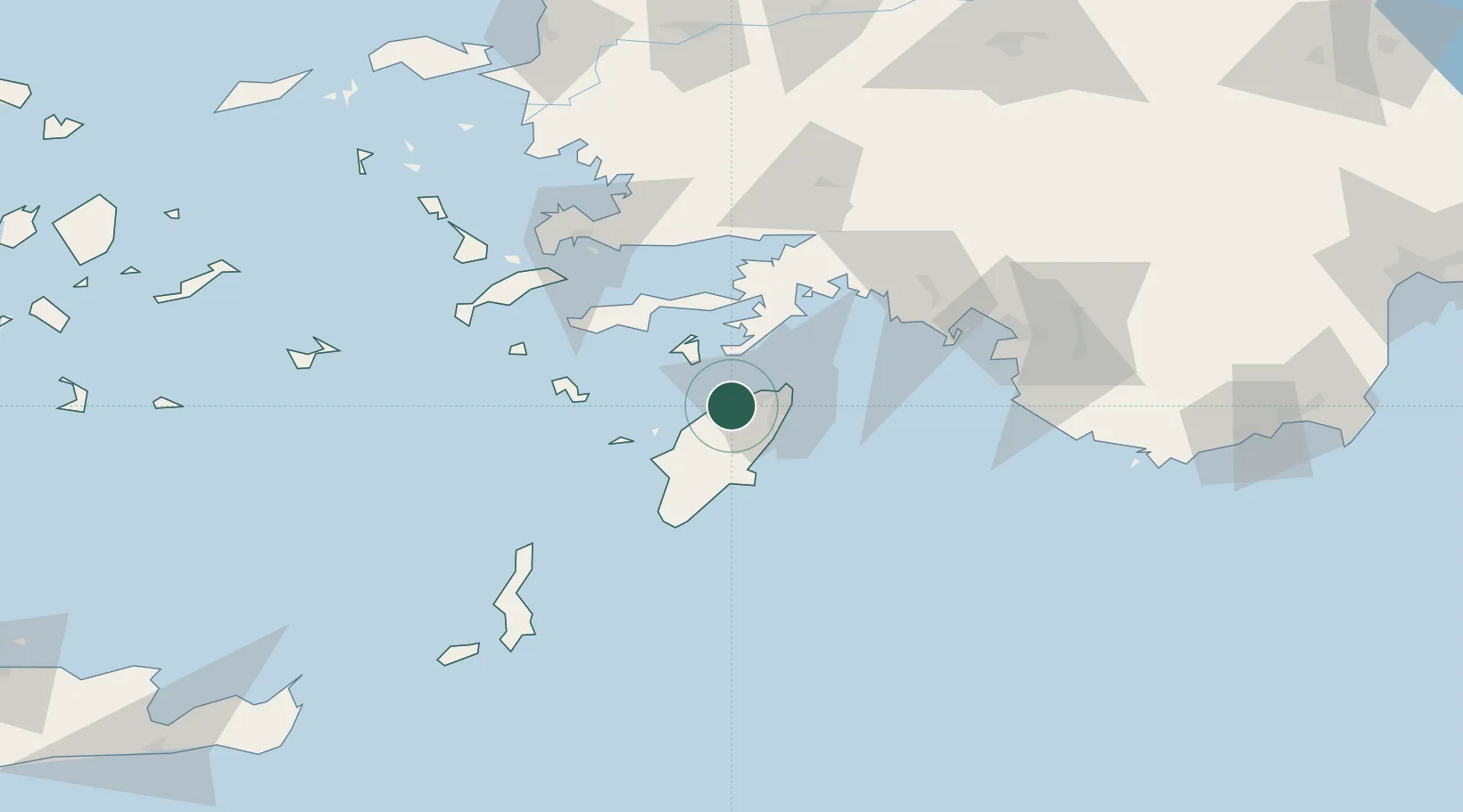
Location
Nearby Logistics Neighbours
Cities
- 1Kamiros Skala20 km
- 2Kalathos Rodou28 km
- 3Symi30 km
- 4Lindos Rodou31 km
- 5Lardos Rhodes34 km
Airports
Trade Zones
- 1Tire Organized Industrial Zone197 km
- 2Denizli Free Zone218 km
- 3Aegean Free Zone233 km
- 4Antalya Free Zone239 km
- 5Salihli Organized Industrial Zone240 km
DatabookThe Record of Consolidated Knowledge
Greece beyond logistics?