UN/LOCODE hub · Greece
GRKSK

Kamiros Skala

36.2667°, 27.8167°
1
Transport functions

Transport Functions

Port
UN/LOCODE

Hub Profile

Region
81
GeoNames

Location

Location of GRKSK
Natural Earth 10m (public domain) · 81 · GRKSK · 36.27, 27.82GoogleOSMYandex

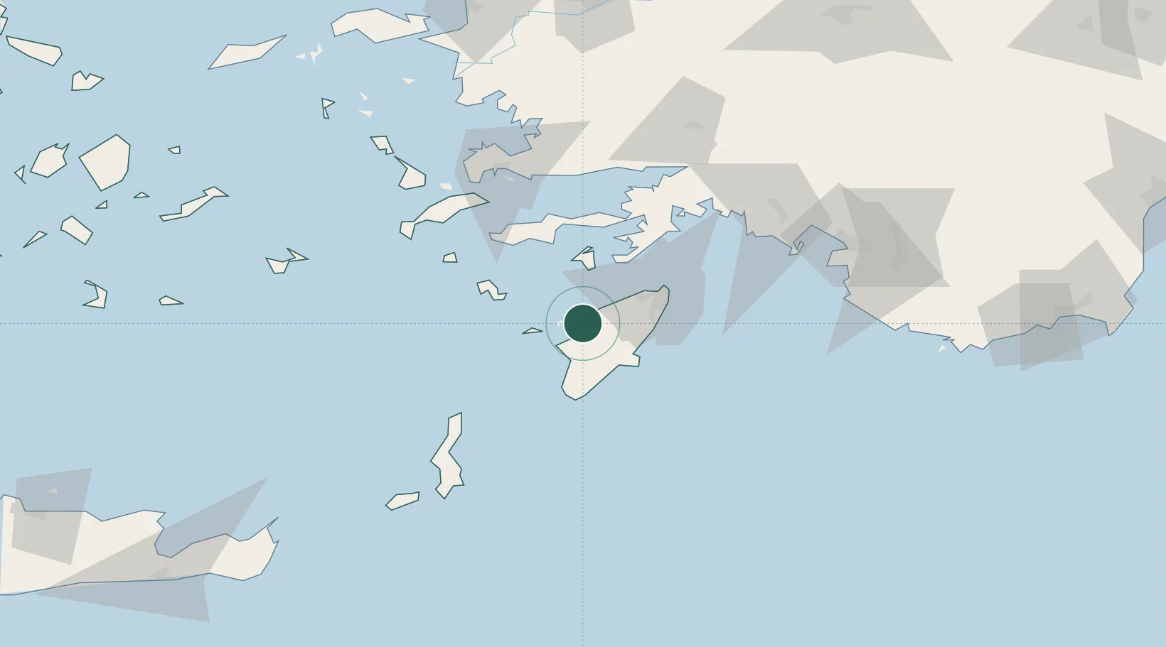
Nearby Logistics Neighbours

Cities
  1. 1Soroni20 km
  2. 2Halki Dodekanison20 km
  3. 3Kalathos Rodou28 km
  4. 4Lardos Rhodes30 km
  5. 5Lindos Rodou30 km
Nearest neighbours — logibook spatial index (haversine) over the source coordinates
Ports
  1. 1Rodhos43 km
  2. 2Marmaris77 km
  3. 3Limin Kos85 km
  4. 4Bodrum92 km
  5. 5Kalimnos106 km
Nearest neighbours — logibook spatial index (haversine) over the source coordinates
Airports
  1. 1Rhodes International Airport "Diagoras"29 km
  2. 2Kos International Airport "Ippokratis"87 km
  3. 3Dalaman International Airport100 km
  4. 4Kalymnos Airport110 km
  5. 5Milas Bodrum International Airport110 km
Nearest neighbours — logibook spatial index (haversine) over the source coordinates
Trade Zones
  1. 1Tire Organized Industrial Zone206 km
  2. 2Denizli Free Zone237 km
  3. 3Aegean Free Zone238 km
  4. 4Salihli Organized Industrial Zone254 km
  5. 5Izmir Ataturk Organized Industrial Zone257 km
Nearest neighbours — logibook spatial index (haversine) over the source coordinates
DatabookThe Record of Consolidated Knowledge
Greece beyond logistics?
Browse databook

All Sources

LocationsUN/LOCODE
UN/LOCODE — free
Portsthe NGA World Port Index
Public domain (US gov)
AirportsOurAirports
Public domain
Trade Zonesthe World Bank SEZ database
CC BY 4.0
Trade ZonesOpen Zone Map
CC BY
← Greece locations