UN/LOCODE hub · Greece
GRLAR

Lardos Rhodes

36.0667°, 28.0333°
1
Transport functions

Transport Functions

Port
UN/LOCODE

Hub Profile

Region
81
GeoNames

Location

Location of GRLAR
Natural Earth 10m (public domain) · 81 · GRLAR · 36.07, 28.03GoogleOSMYandex

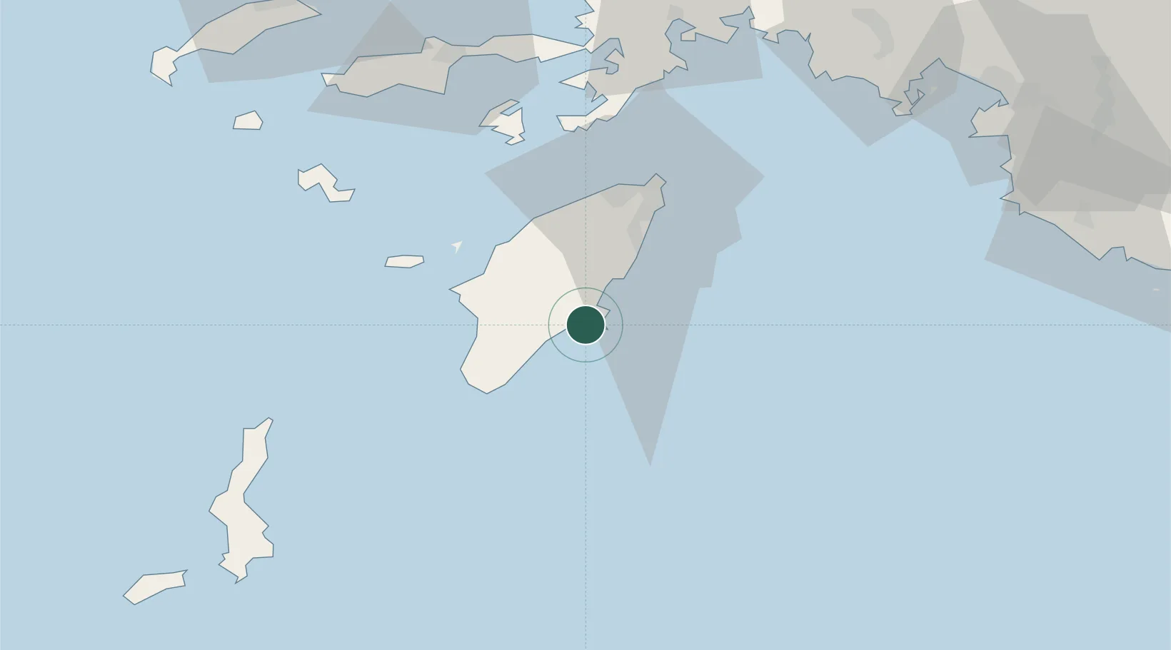
Nearby Logistics Neighbours

Cities
  1. 1Lindos Rodou6 km
  2. 2Kalathos Rodou6 km
  3. 3Kamiros Skala30 km
  4. 4Prasonisi Rhodes32 km
  5. 5Soroni34 km
Nearest neighbours — logibook spatial index (haversine) over the source coordinates
Ports
  1. 1Rodhos46 km
  2. 2Marmaris90 km
  3. 3Limin Kos114 km
  4. 4Fethiye114 km
  5. 5Bodrum120 km
Nearest neighbours — logibook spatial index (haversine) over the source coordinates
Airports
  1. 1Rhodes International Airport "Diagoras"38 km
  2. 2Dalaman International Airport99 km
  3. 3Karpathos Airport108 km
  4. 4Kos International Airport "Ippokratis"117 km
  5. 5Kasos Airport124 km
Nearest neighbours — logibook spatial index (haversine) over the source coordinates
Trade Zones
  1. 1Tire Organized Industrial Zone230 km
  2. 2Denizli Free Zone242 km
  3. 3Antalya Free Zone246 km
  4. 4Antalya Organized Industrial Zone257 km
  5. 5Aegean Free Zone265 km
Nearest neighbours — logibook spatial index (haversine) over the source coordinates
DatabookThe Record of Consolidated Knowledge
Greece beyond logistics?
Browse databook

All Sources

LocationsUN/LOCODE
UN/LOCODE — free
Portsthe NGA World Port Index
Public domain (US gov)
AirportsOurAirports
Public domain
Trade Zonesthe World Bank SEZ database
CC BY 4.0
Trade ZonesOpen Zone Map
CC BY
← Greece locations