Transport Functions
Port
Road
Hub Profile
Region
L
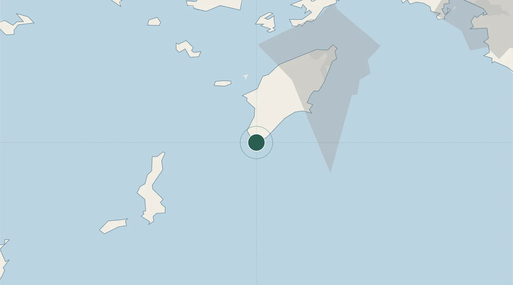
Location
Nearby Logistics Neighbours
Cities
- 1Lardos Rhodes32 km
- 2Lindos Rodou37 km
- 3Kalathos Rodou37 km
- 4Halki Dodekanison40 km
- 5Kamiros Skala43 km
Airports
Trade Zones
- 1Tire Organized Industrial Zone249 km
- 2Free Zone of Heraklion254 km
- 3Denizli Free Zone272 km
- 4Antalya Free Zone276 km
- 5Aegean Free Zone279 km
DatabookThe Record of Consolidated Knowledge
Greece beyond logistics?