UN/LOCODE hub · Greece
GRTIL

Tilos

36.4167°, 27.3667°
1
Transport functions

Transport Functions

Port
UN/LOCODE

Hub Profile

Region
81
GeoNames

Location

Location of GRTIL
Natural Earth 10m (public domain) · 81 · GRTIL · 36.42, 27.37GoogleOSMYandex

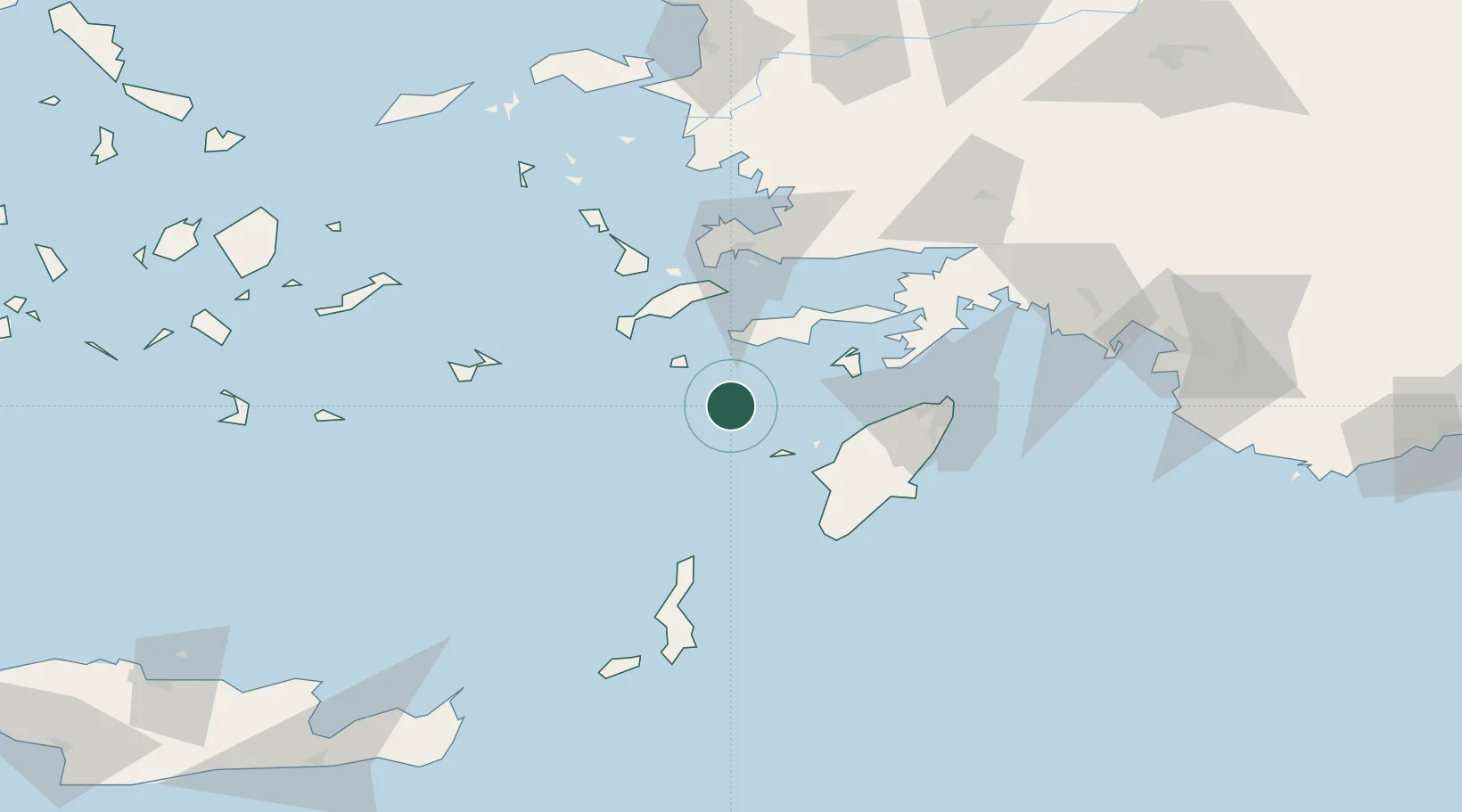
Nearby Logistics Neighbours

Cities
  1. 1Nisiros31 km
  2. 2Halki Dodekanison31 km
  3. 3Kamiros Skala44 km
  4. 4Kardamaina Kos45 km
  5. 5Datça46 km
Nearest neighbours — logibook spatial index (haversine) over the source coordinates
Ports
  1. 1Limin Kos54 km
  2. 2Kalimnos69 km
  3. 3Bodrum69 km
  4. 4Rodhos78 km
  5. 5Lakki92 km
Nearest neighbours — logibook spatial index (haversine) over the source coordinates
Airports
  1. 1Kos International Airport "Ippokratis"49 km
  2. 2Rhodes International Airport "Diagoras"64 km
  3. 3Kalymnos Airport72 km
  4. 4Astypalaia Airport90 km
  5. 5Milas Bodrum International Airport96 km
Nearest neighbours — logibook spatial index (haversine) over the source coordinates
Trade Zones
  1. 1Tire Organized Industrial Zone192 km
  2. 2Aegean Free Zone215 km
  3. 3Izmir Ataturk Organized Industrial Zone233 km
  4. 4Manisa Organized Industrial Zone245 km
  5. 5Free Zone of Heraklion246 km
Nearest neighbours — logibook spatial index (haversine) over the source coordinates
DatabookThe Record of Consolidated Knowledge
Greece beyond logistics?
Browse databook

All Sources

LocationsUN/LOCODE
UN/LOCODE — free
Portsthe NGA World Port Index
Public domain (US gov)
AirportsOurAirports
Public domain
Trade Zonesthe World Bank SEZ database
CC BY 4.0
Trade ZonesOpen Zone Map
CC BY
← Greece locations