Small airport · Greece

Kalymnos AirportLGKY
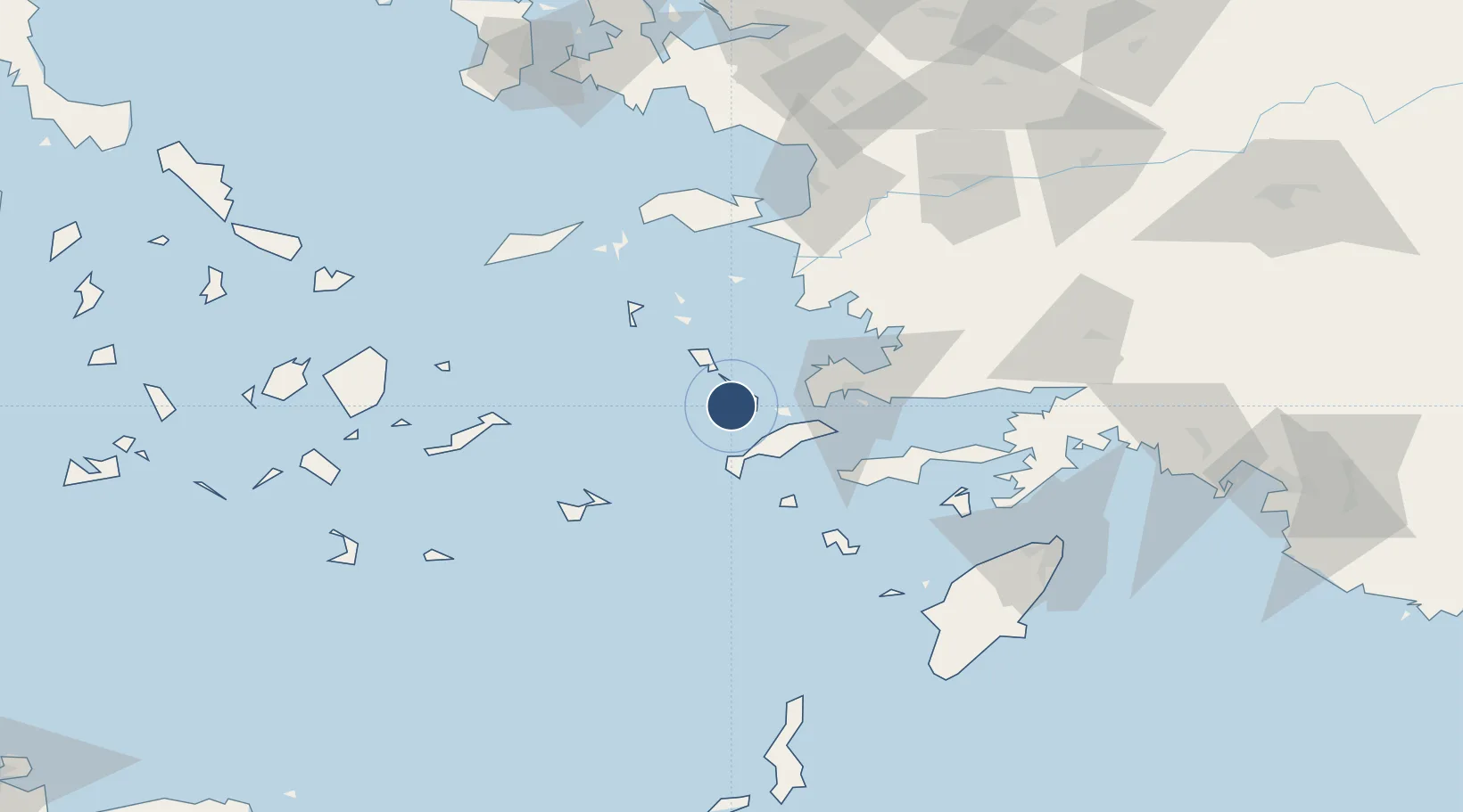
36.9633°, 26.9406°
3,330 ft
Longest runway
1
Runways
771 ft
Elevation

Runway & Layout

Kalymnos Airport runway & taxiway layout
Runway & taxiway layout — OpenStreetMap (ODbL) / OurAirports

Runways · 1

RunwayDimensions SurfaceTrue headingLit
10/28 3,330 × 98ft Asphalt
OurAirports

Airport Specifications

IATA code
JKL
OurAirports
ICAO code
LGKY
OurAirports
Airport class
Small airport
OurAirports
Scheduled service
Yes
OurAirports
Runway surface
Asphalt
OurAirports
Served city
Kalymnos Island
OurAirports

Location

Location of LGKY
Natural Earth 10m (public domain) · Notio Aigaio · LGKY · 36.96, 26.94GoogleOSMYandex

Nearby Logistics Neighbours

Airports
  1. 1Kos International Airport "Ippokratis"23 km
  2. 2Leros Airport28 km
  3. 3Astypalaia Airport66 km
  4. 4Milas Bodrum International Airport72 km
  5. 5Samos Airport81 km
Nearest neighbours — logibook spatial index (haversine) over the source coordinates
Cities
  1. 1Myrties Kalymnou3 km
  2. 2Kálymnos4 km
  3. 3Mastichari Kos17 km
  4. 4Phserimos Dodekanisou17 km
  5. 5Xirokampos Leros18 km
Nearest neighbours — logibook spatial index (haversine) over the source coordinates
Ports
  1. 1Kalimnos4 km
  2. 2Lakki21 km
  3. 3Limin Kos31 km
  4. 4Bodrum44 km
  5. 5Gulluk68 km
Nearest neighbours — logibook spatial index (haversine) over the source coordinates
Trade Zones
  1. 1Tire Organized Industrial Zone145 km
  2. 2Aegean Free Zone154 km
  3. 3Izmir Ataturk Organized Industrial Zone170 km
  4. 4Izmir Free Zone184 km
  5. 5Manisa Organized Industrial Zone188 km
Nearest neighbours — logibook spatial index (haversine) over the source coordinates
DatabookThe Record of Consolidated Knowledge
Greece beyond logistics?
Browse databook

All Sources

AirportsOurAirports
Public domain
Portsthe NGA World Port Index
Public domain (US gov)
LocationsUN/LOCODE
UN/LOCODE — free
Trade Zonesthe World Bank SEZ database
CC BY 4.0
Trade ZonesOpen Zone Map
CC BY
InfrastructureOpenStreetMap
ODbL 1.0
← Greece airports