Transport Functions
Port
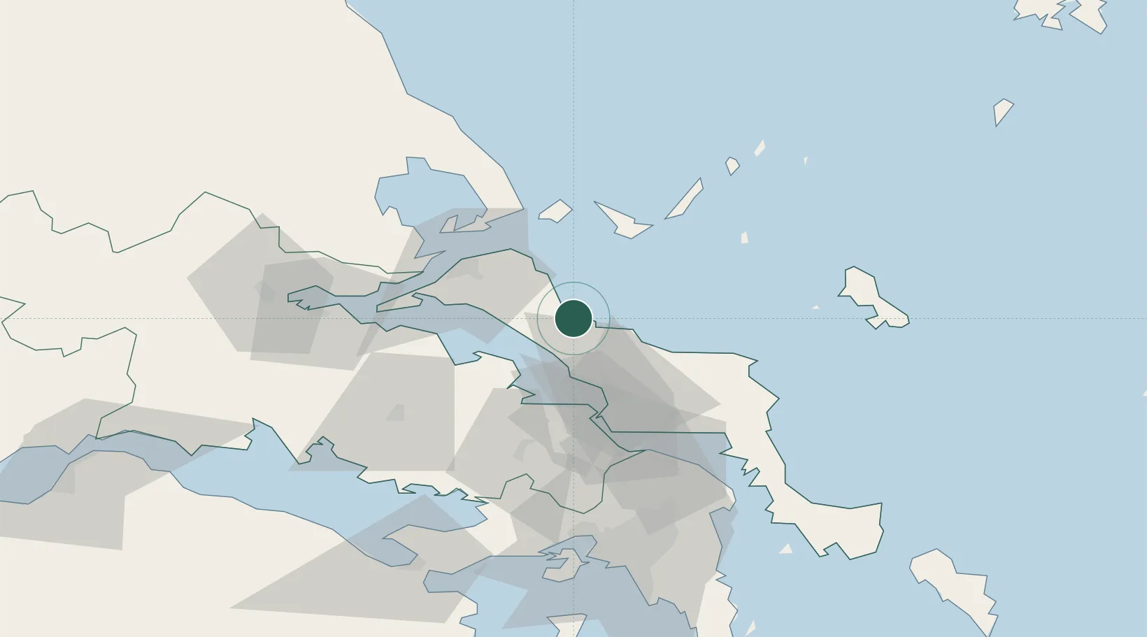
Location
Nearby Logistics Neighbours
Ports
- 1Achladi62 km
- 2Ormos Aliveriou66 km
- 3Tsingeli71 km
- 4Volos80 km
- 5Megara Oil Terminal93 km
Airports
- 1Skiathos Island National Airport42 km
- 2Tanagra Air Base51 km
- 3Nea Anchialos National Airport78 km
- 4Elefsis Air Base82 km
- 5Skiros Airport86 km
Trade Zones
- 1Free Zone of Piraeus95 km
- 2Free Zone of Thessaloniki210 km
- 3Free Zone of Platigiali (Astakos Etoloakarnanias)213 km
- 4TIDZ Gevgelija280 km
- 5TIDZ Strumica296 km
DatabookThe Record of Consolidated Knowledge
Greece beyond logistics?