UN/LOCODE hub · Greece
GRAND

Andros

37.8333°, 24.9333°
1,428
Population
1
Transport functions

Transport Functions

Port
Andros is also a profiled seaport →
UN/LOCODE

Hub Profile

Place type
Populated place
GeoNames
Region
South Aegean
GeoNames
Population
1,428
GeoNames
Time zone
Europe/Athens
GeoNames
Elevation
37 m
GeoNames

Location

Location of GRAND
Natural Earth 10m (public domain) · South Aegean · GRAND · 37.83, 24.93GoogleOSMYandex

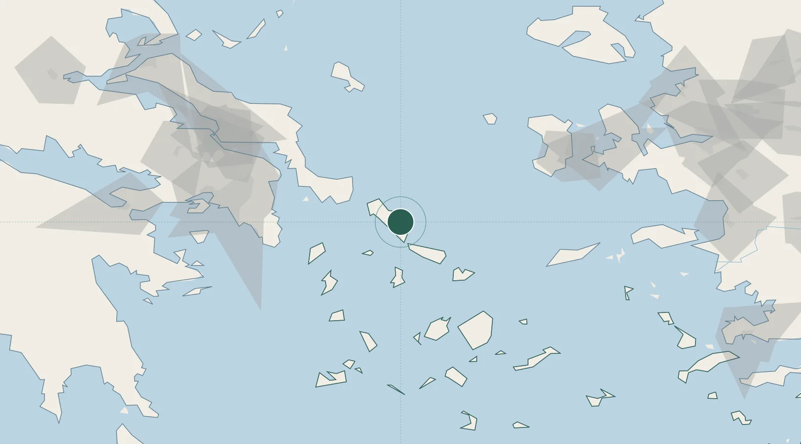
Nearby Logistics Neighbours

Cities
  1. 1Gávrion18 km
  2. 2Órmos Panórmou23 km
  3. 3Tínos39 km
  4. 4Karystos50 km
  5. 5Mykonos55 km
Nearest neighbours — logibook spatial index (haversine) over the source coordinates
Ports
  1. 1Gavrio18 km
  2. 2Limin Sirou45 km
  3. 3Mikonos55 km
  4. 4Lavrio78 km
  5. 5Nisos Naxos90 km
Nearest neighbours — logibook spatial index (haversine) over the source coordinates
Airports
  1. 1Syros Airport46 km
  2. 2Mykonos Island National Airport57 km
  3. 3Athens Eleftherios Venizelos International Airport88 km
  4. 4Paros National Airport92 km
  5. 5Naxos Island National Airport92 km
Nearest neighbours — logibook spatial index (haversine) over the source coordinates
Trade Zones
  1. 1Free Zone of Piraeus117 km
  2. 2Izmir Free Zone195 km
  3. 3Izmir Ataturk Organized Industrial Zone198 km
  4. 4Aegean Free Zone200 km
  5. 5Aliaga Kimya Ihtisas ve Karma Organized Industrial Zone215 km
Nearest neighbours — logibook spatial index (haversine) over the source coordinates
DatabookThe Record of Consolidated Knowledge
Greece beyond logistics?
Browse databook

All Sources

LocationsUN/LOCODE
UN/LOCODE — free
LocationsGeoNames
CC BY 4.0
Portsthe NGA World Port Index
Public domain (US gov)
AirportsOurAirports
Public domain
Trade Zonesthe World Bank SEZ database
CC BY 4.0
Trade ZonesOpen Zone Map
CC BY
← Greece locations