UN/LOCODE hub · Greece
GRTIN

Tínos

37.5333°, 25.1667°
4,573
Population
1
Transport functions

Transport Functions

Port
UN/LOCODE

Hub Profile

Place type
District seat
GeoNames
Region
South Aegean
GeoNames
Population
4,573
GeoNames
Time zone
Europe/Athens
GeoNames
Elevation
7 m
GeoNames

Location

Location of GRTIN
Natural Earth 10m (public domain) · South Aegean · GRTIN · 37.53, 25.17GoogleOSMYandex

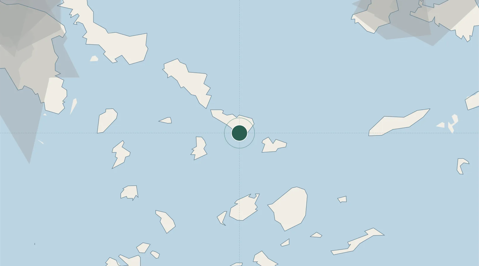
Nearby Logistics Neighbours

Cities
  1. 1Órmos Panórmou17 km
  2. 2Delos17 km
  3. 3Mykonos17 km
  4. 4Andros39 km
  5. 5Naoussa Parou47 km
Nearest neighbours — logibook spatial index (haversine) over the source coordinates
Ports
  1. 1Mikonos17 km
  2. 2Limin Sirou22 km
  3. 3Andros38 km
  4. 4Nisos Naxos51 km
  5. 5Gavrio55 km
Nearest neighbours — logibook spatial index (haversine) over the source coordinates
Airports
  1. 1Mykonos Island National Airport19 km
  2. 2Syros Airport23 km
  3. 3Naxos Island National Airport53 km
  4. 4Paros National Airport57 km
  5. 5Ikaria Airport105 km
Nearest neighbours — logibook spatial index (haversine) over the source coordinates
Trade Zones
  1. 1Free Zone of Piraeus144 km
  2. 2Aegean Free Zone194 km
  3. 3Izmir Ataturk Organized Industrial Zone195 km
  4. 4Izmir Free Zone196 km
  5. 5Aliaga Kimya Ihtisas ve Karma Organized Industrial Zone218 km
Nearest neighbours — logibook spatial index (haversine) over the source coordinates
DatabookThe Record of Consolidated Knowledge
Greece beyond logistics?
Browse databook

All Sources

LocationsUN/LOCODE
UN/LOCODE — free
LocationsGeoNames
CC BY 4.0
Portsthe NGA World Port Index
Public domain (US gov)
AirportsOurAirports
Public domain
Trade Zonesthe World Bank SEZ database
CC BY 4.0
Trade ZonesOpen Zone Map
CC BY
← Greece locations