Transport Functions
Port
Airport
Hub Profile
Place type
Populated place
Region
South Aegean
Population
3,783
Time zone
Europe/Athens
Elevation
9 m
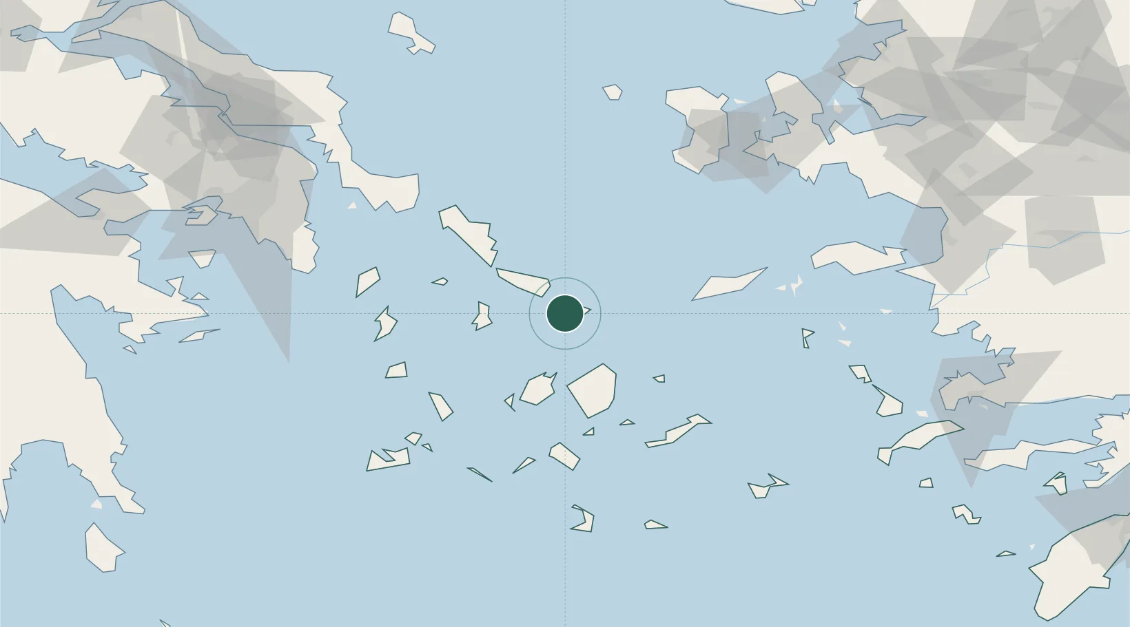
Location
Nearby Logistics Neighbours
Cities
- 1Delos8 km
- 2Tínos17 km
- 3Órmos Panórmou33 km
- 4Naoussa Parou38 km
- 5Náxos39 km
Ports
- 1Limin Sirou34 km
- 2Nisos Naxos39 km
- 3Andros54 km
- 4Gavrio72 km
- 5Milos113 km
Airports
- 1Mykonos Island National Airport2 km
- 2Syros Airport34 km
- 3Naxos Island National Airport41 km
- 4Paros National Airport52 km
- 5Ikaria Airport93 km
Trade Zones
DatabookThe Record of Consolidated Knowledge
Greece beyond logistics?