Transport Functions
Port
Road
Hub Profile
Place type
Populated place
Region
South Aegean
Population
134
Time zone
Europe/Athens
Elevation
4 m
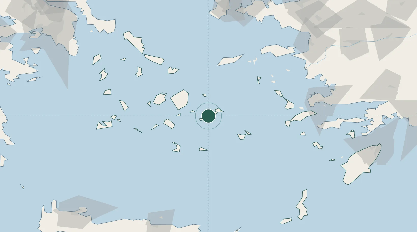
Location
Nearby Logistics Neighbours
Cities
- 1Aigiali Amorgou12 km
- 2Koufonissia Kykladon26 km
- 3Donousa Kykladon30 km
- 4Schinousa Kykladon33 km
- 5Herakleia Kykladon36 km
Ports
- 1Nisos Naxos53 km
- 2Mikonos83 km
- 3Lakki94 km
- 4Kalimnos100 km
- 5Limin Sirou105 km
Airports
Trade Zones
- 1Free Zone of Heraklion194 km
- 2Aegean Free Zone201 km
- 3Izmir Ataturk Organized Industrial Zone211 km
- 4Tire Organized Industrial Zone216 km
- 5Izmir Free Zone219 km
DatabookThe Record of Consolidated Knowledge
Greece beyond logistics?