UN/LOCODE hub · Greece
GRAGO

Ágios Efstrátios

39.5333°, 24.9833°
1
Transport functions

Transport Functions

Port
UN/LOCODE

Hub Profile

Place type
District seat
GeoNames
Region
North Aegean
GeoNames
Time zone
Europe/Athens
GeoNames
Elevation
9 m
GeoNames

Location

Location of GRAGO
Natural Earth 10m (public domain) · North Aegean · GRAGO · 39.53, 24.98GoogleOSMYandex

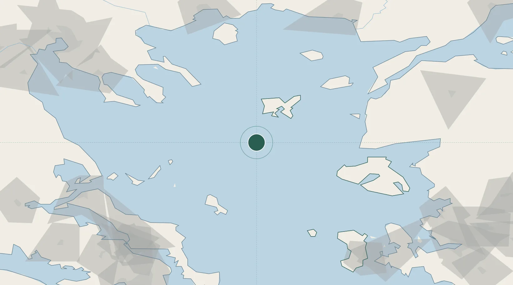
Nearby Logistics Neighbours

Cities
  1. 1Kontias Limnou36 km
  2. 2Mírina38 km
  3. 3Moúdhros44 km
  4. 4Skíros79 km
  5. 5Sigri Lesvou81 km
Nearest neighbours — logibook spatial index (haversine) over the source coordinates
Ports
  1. 1Plomarion134 km
  2. 2Eceabat138 km
  3. 3Canakkale139 km
  4. 4Mitilini145 km
  5. 5Stratoni147 km
Nearest neighbours — logibook spatial index (haversine) over the source coordinates
Airports
  1. 1Limnos Airport48 km
  2. 2Skiros Airport76 km
  3. 3Skiathos Island National Airport133 km
  4. 4Çanakkale Airport140 km
  5. 5Mytilene International Airport149 km
Nearest neighbours — logibook spatial index (haversine) over the source coordinates
Trade Zones
  1. 1Aliaga Kimya Ihtisas ve Karma Organized Industrial Zone195 km
  2. 2Izmir Free Zone197 km
  3. 3Izmir Ataturk Organized Industrial Zone212 km
  4. 4Free Zone of Piraeus213 km
  5. 5Free Zone of Thessaloniki214 km
Nearest neighbours — logibook spatial index (haversine) over the source coordinates
DatabookThe Record of Consolidated Knowledge
Greece beyond logistics?
Browse databook

All Sources

LocationsUN/LOCODE
UN/LOCODE — free
Portsthe NGA World Port Index
Public domain (US gov)
AirportsOurAirports
Public domain
Trade Zonesthe World Bank SEZ database
CC BY 4.0
Trade ZonesOpen Zone Map
CC BY
← Greece locations