Transport Functions
Port
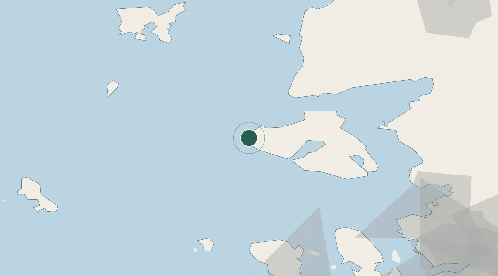
Location
Nearby Logistics Neighbours
Cities
- 1Sigrion1 km
- 2Molyvos32 km
- 3Petra33 km
- 4Baba Point34 km
- 5Plomárion53 km
Airports
- 1Mytilene International Airport68 km
- 2Limnos Airport93 km
- 3Chios Island National Airport101 km
- 4Balıkesir Koca Seyit Airport108 km
- 5Çanakkale Airport114 km
Trade Zones
DatabookThe Record of Consolidated Knowledge
Greece beyond logistics?