Transport Functions
Port
Hub Profile
Place type
Populated place
Region
North Aegean
Time zone
Europe/Athens
Elevation
23 m
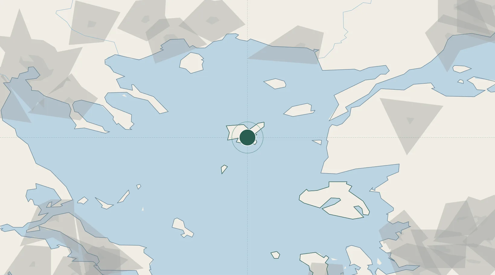
Location
Nearby Logistics Neighbours
Cities
- 1Kontias Limnou11 km
- 2Mírina17 km
- 3Ágios Efstrátios44 km
- 4Gokceada66 km
- 5Bozcaada68 km
Ports
- 1Eceabat100 km
- 2Canakkale102 km
- 3Alexandroupoli120 km
- 4Lagos127 km
- 5Gelibolu133 km
Airports
- 1Limnos Airport6 km
- 2Çanakkale Airport103 km
- 3Skiros Airport120 km
- 4Alexandroupoli Democritus Airport125 km
- 5Kavala Alexander the Great International Airport129 km
Trade Zones
DatabookThe Record of Consolidated Knowledge
Greece beyond logistics?