UN/LOCODE hub · Greece
GRKNS

Kontias Limnou

39.8333°, 25.1500°
1
Transport functions

Transport Functions

Port
UN/LOCODE

Hub Profile

Region
83
GeoNames

Location

Location of GRKNS
Natural Earth 10m (public domain) · 83 · GRKNS · 39.83, 25.15GoogleOSMYandex

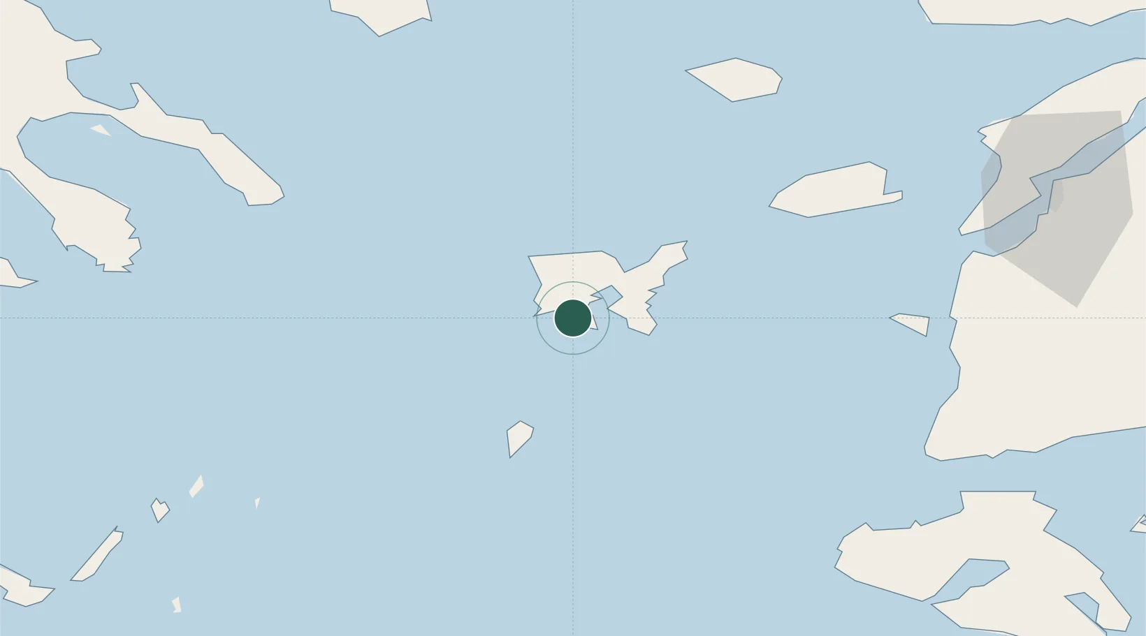
Nearby Logistics Neighbours

Cities
  1. 1Mírina8 km
  2. 2Moúdhros11 km
  3. 3Ágios Efstrátios36 km
  4. 4Gokceada76 km
  5. 5Bozcaada78 km
Nearest neighbours — logibook spatial index (haversine) over the source coordinates
Ports
  1. 1Eceabat111 km
  2. 2Canakkale112 km
  3. 3Alexandroupoli127 km
  4. 4Lagos130 km
  5. 5Stratoni135 km
Nearest neighbours — logibook spatial index (haversine) over the source coordinates
Airports
  1. 1Limnos Airport12 km
  2. 2Skiros Airport112 km
  3. 3Çanakkale Airport114 km
  4. 4Kavala Alexander the Great International Airport128 km
  5. 5Alexandroupoli Democritus Airport133 km
Nearest neighbours — logibook spatial index (haversine) over the source coordinates
Trade Zones
  1. 1Aliaga Kimya Ihtisas ve Karma Organized Industrial Zone199 km
  2. 2Izmir Free Zone204 km
  3. 3Free Zone of Thessaloniki209 km
  4. 4Izmir Ataturk Organized Industrial Zone221 km
  5. 5Balikesir Organized Industrial Zone232 km
Nearest neighbours — logibook spatial index (haversine) over the source coordinates
DatabookThe Record of Consolidated Knowledge
Greece beyond logistics?
Browse databook

All Sources

LocationsUN/LOCODE
UN/LOCODE — free
Portsthe NGA World Port Index
Public domain (US gov)
AirportsOurAirports
Public domain
Trade Zonesthe World Bank SEZ database
CC BY 4.0
Trade ZonesOpen Zone Map
CC BY
← Greece locations