UN/LOCODE hub · Greece
GRMYR

Mírina

39.8667°, 25.0667°
1
Transport functions

Transport Functions

Port
UN/LOCODE

Location

Location of GRMYR
Natural Earth 10m (public domain) · Voreio Aigaio · GRMYR · 39.87, 25.07GoogleOSMYandex

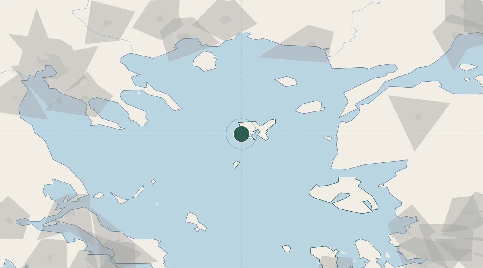
Nearby Logistics Neighbours

Cities
  1. 1Kontias Limnou8 km
  2. 2Moúdhros17 km
  3. 3Ágios Efstrátios38 km
  4. 4Samothráki79 km
  5. 5Gokceada81 km
Nearest neighbours — logibook spatial index (haversine) over the source coordinates
Ports
  1. 1Eceabat116 km
  2. 2Canakkale118 km
  3. 3Lagos126 km
  4. 4Stratoni127 km
  5. 5Alexandroupoli128 km
Nearest neighbours — logibook spatial index (haversine) over the source coordinates
Airports
  1. 1Limnos Airport16 km
  2. 2Skiros Airport112 km
  3. 3Çanakkale Airport120 km
  4. 4Kavala Alexander the Great International Airport122 km
  5. 5Alexandroupoli Democritus Airport133 km
Nearest neighbours — logibook spatial index (haversine) over the source coordinates
Trade Zones
  1. 1Free Zone of Thessaloniki201 km
  2. 2Aliaga Kimya Ihtisas ve Karma Organized Industrial Zone207 km
  3. 3Izmir Free Zone212 km
  4. 4Izmir Ataturk Organized Industrial Zone229 km
  5. 5Svilengrad Free Economic Zone232 km
Nearest neighbours — logibook spatial index (haversine) over the source coordinates
DatabookThe Record of Consolidated Knowledge
Greece beyond logistics?
Browse databook

All Sources

LocationsUN/LOCODE
UN/LOCODE — free
Portsthe NGA World Port Index
Public domain (US gov)
AirportsOurAirports
Public domain
Trade Zonesthe World Bank SEZ database
CC BY 4.0
Trade ZonesOpen Zone Map
CC BY
← Greece locations