Transport Functions
Port
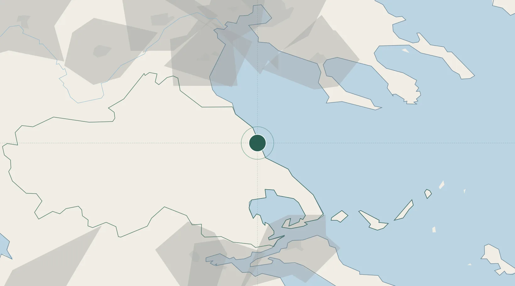
Location
Nearby Logistics Neighbours
Cities
- 1Melía28 km
- 2Vólos36 km
- 3Agriá40 km
- 4Amaliápolis58 km
- 5Tsingéli58 km
Ports
- 1Volos36 km
- 2Tsingeli58 km
- 3Yerakini82 km
- 4Achladi87 km
- 5Thessaloniki106 km
Airports
Trade Zones
- 1Free Zone of Thessaloniki106 km
- 2TIDZ Gevgelija172 km
- 3TIDZ Strumica190 km
- 4Free Zone of Piraeus203 km
- 5Free Zone of Platigiali (Astakos Etoloakarnanias)204 km
DatabookThe Record of Consolidated Knowledge
Greece beyond logistics?